|
STANLEY
DIP FALLS
TARKINE DRIVE
MARRAWAH
ARTHUR RIVER
SARAH ANNE ROCKS
MCGOWANS FALLS
HELLYER GORGE
WANDLE FALLS
PHILOSOPHER FALLS
CORINNA
TARKINE MAP
ACCOMMODATION THE TARKINE
|
SPONSORS
accent on
 tasmania
|
follow updates on
| |
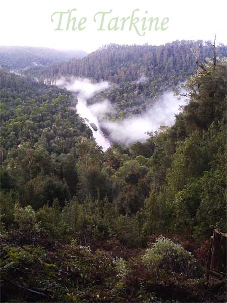
The Tarkine
The Forgotten Wilderness
|

|
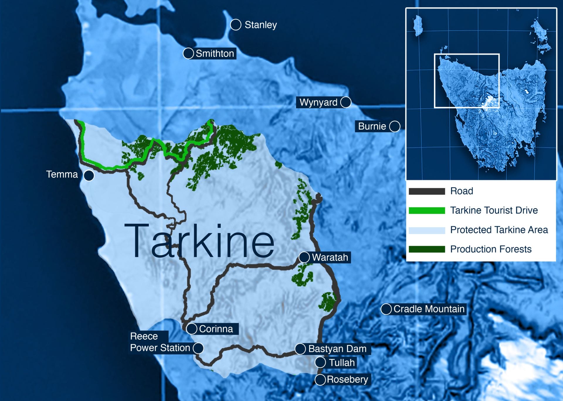
The relatively vast upper part of western Tasmania has long been known by conservation movements as The Tarkine - "The
Forgotten Wilderness". The area can loosely be defined as the area
between the Arthur and Pieman River heads and Port Macquarie on the West
Coast, inland to the Murchison Highway from Burnie to Queenstown. The
area contains an abundance of natural attractions including one of the worlds
largest tracts of untouched Rainforest. The Savage River National Park
has seen a small part of it protected - although a great deal of the Park
consists of bare-top hills..
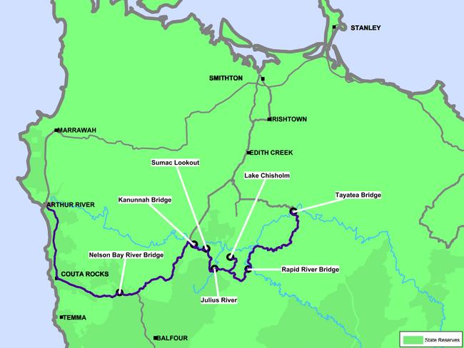
The Majestic Arthur River from Sumac Lookout
by the road a few kilometres from Kanunnah Bridge on the
South Arthur Forests Drive drive.
 |
|
|