|
Welcome to Tasmania. It's
difficult to believe such a small island can have so much to offer. One of our
colleagues recently described Tasmania as a
whole World on an island. Take
the Tour through the various regions and discover the diverse scenic delight that is
Australia's island state of TASMANIA. There are over 3,500 kilometres of
walking tracks in Tasmania. The site concentrates on some of the
delightful short walks (and drives) - some just a few minutes - others a full day
and longer. If you would like any additional information let
us know.
contact
us: EMAIL
US
This site has been
prepared
in response to discussions with dozens of interstate and overseas
visitors to the island who arrive here with little knowledge of the
state and in 90% of cases wished they had allowed considerably more time
on our beautiful and diversely rich island. It has been designed
to provide a broad overview of Tasmania's natural attractions.
Providing a guide on what there is, how to get there and what to expect
when you get there.
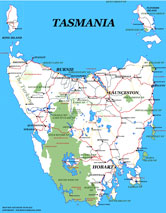
MAP OF TASMANIAN
PRINTABLE VERSION
|
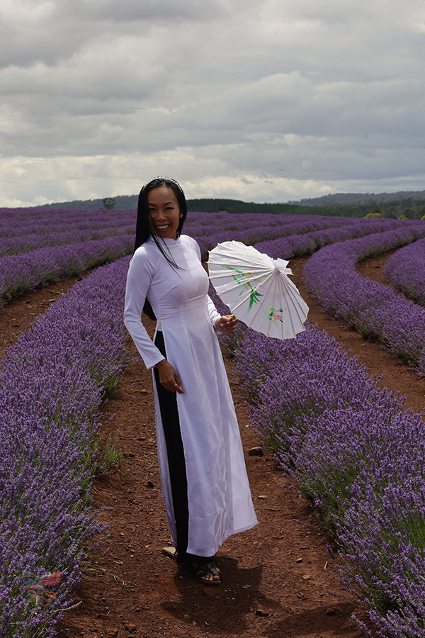
BRIDESTOWE
LAVENDER FARM
JANUARY 2023
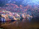
SOUTH WEST
NATIONALPARK
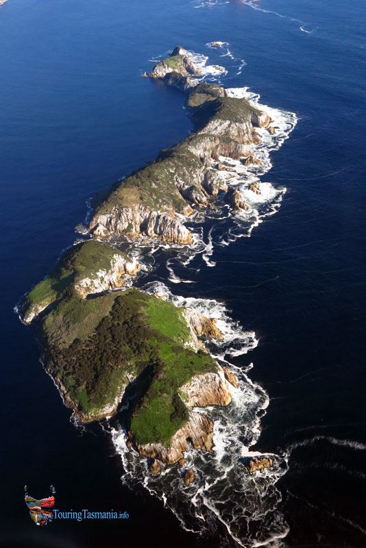
Images from a flight over spectacular South
West Tasmania.
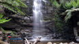
HONOR FALLS
The Great Western Tiers
|
Road & Track closures here:
http://www.parks.tas.gov.au/index.aspx?base=7785
http://www.forestrytas.com.au/visiting/road-closures
http://www.police.tas.gov.au/community-alerts/
|