|
follow updates on
| |
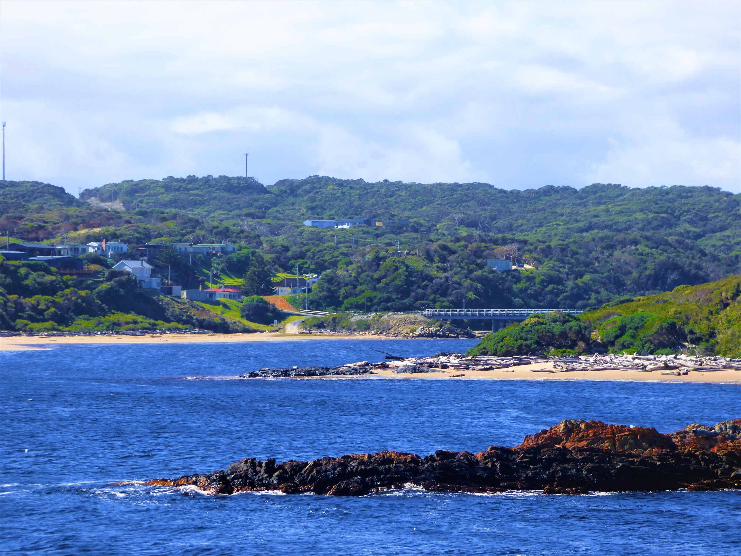
Arthur River
Gateway to The Tarkine

|
The township of Arthur River is a 15 minute drive south
of Marrawah on a very good sealed road. There are numerous camping
grounds in and around Arthur River. There are also numerous
accommodation options. There are two small general stores in the town.
A very good location to base yourself for touring The Tarkine Coast.
There are also two vessels which take cruises upstream on
the the majestic Arthur River for about 15 kilometres.
One of our sponsors provides a premium cruise with a
ferry with an upper deck providing excellent views along the way. They
also provide accommodation at Arthur River
|
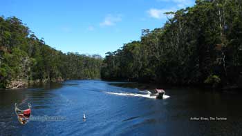
The
majestic Arthur River
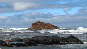
Arthur river coastline - north |
|
| |
|


