|
MT PUZZLER
MEETUS FALLS
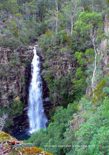
HARDINGS FALLS
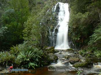
MATHINNA FALLS
EVERCREECH
CASTLE CARY RIDGE
STORYS CREEK
ROSSARDEN
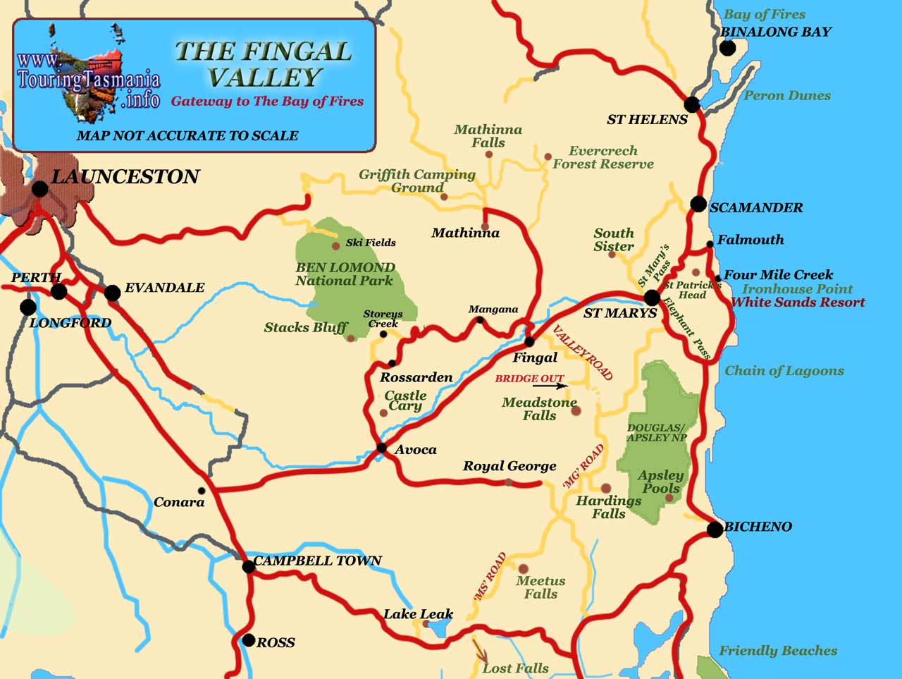
FINGAL VALLEY MAP
|
SPONSORS
accent on
 tasmania
|
follow updates on
| |
The East Coast
FINGAL VALLEY
|
The
Fingal Valley provides the shortest access to Tasmania's East Coast from the
north of the island. From the Midlands Highway at Conara, the Esk Highway passes
through the townships of Avoca, Fingal and St Mary's. There are several
interesting diversions along the way. These include
Mathinna, Storys
Creek
and Mt Puzzler to name just a few.
The
western end of the valley is dominated by Stack's Bluff at the southern end of
Ben Lomond. A 6 hour return
walk from Storeys Creek. The eastern end is dominated by St Patrick's Head. There
is a very steep walk up St Patrick's head. The track commences a
couple of kilometres from the centre of St Mary's. It is well signposted.
Spectacular panoramic views from the top. About an hour or less each way.
|
 |
 |
 |
|
|
Meetus Falls
|
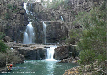
Hardings Falls |
|
|
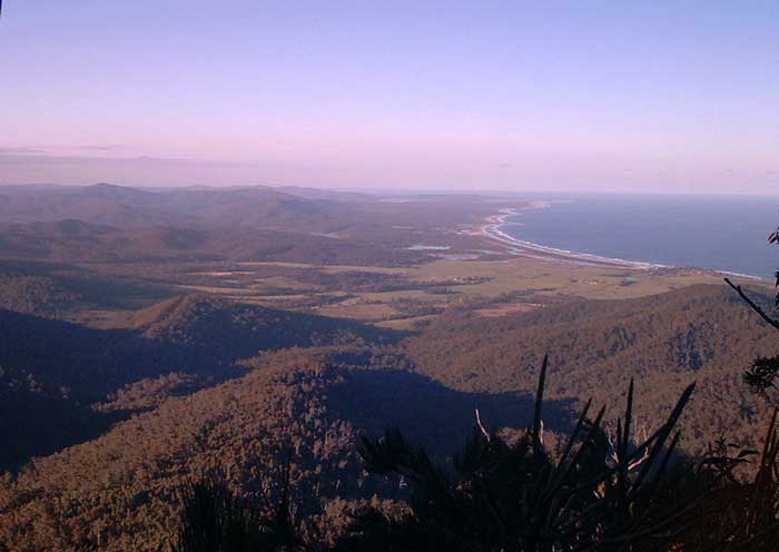
The view
from the top of St Patrick's Head. The St
Mary's Pass is in the foreground. The small hill on the bottom end of the
beach on the right
of picture is Falmouth. Scamander is just beyond the lagoons to the north.
St Helen's Point can just be seen through the smoke haze at the northern end of
the beach.
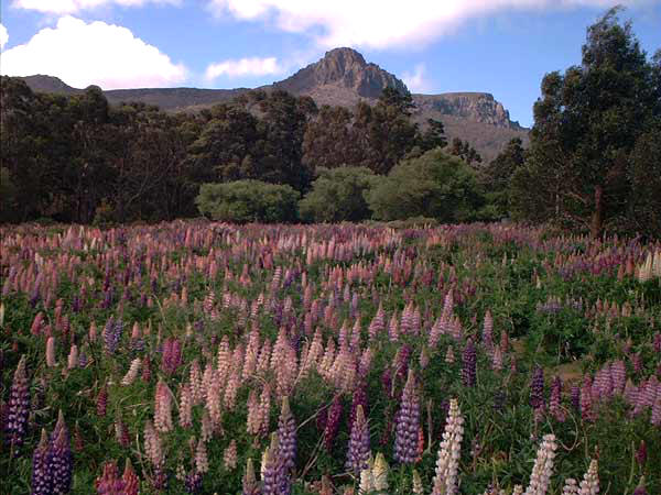
FAR RIGHT:
Wild Lupins at Storeys Creek
|
 |
 |
|
|