|
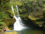
MEANDER FALLS
MEANDER FALLS MAP
|
SPONSORS
accent on
 tasmania
|
follow updates on
| |
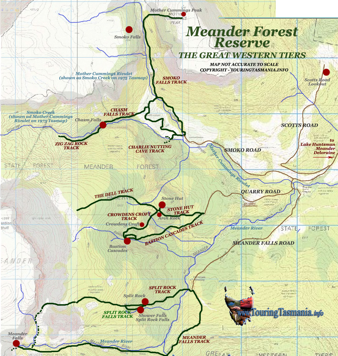
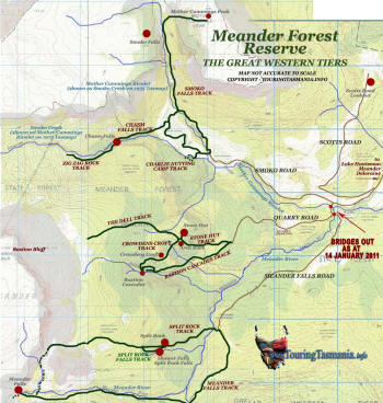
MEANDER
FOREST RESERVE
The
Great Western Tiers
|
 |
Meander Forest Reserve is
a little over an hours drive from either Launceston or Devonport.
Deloraine is half way between Launceston and Devonport. Meander is
15 kilometres south of Deloraine with the reserve a further 10
kilometres further on. The road passes the Meander Dam site - Lake Huntsman. The new lake is a very scenic
addition to the area. A new picnic area has been constructed
overlooking the lake next to the Meander Falls Road.
Deloraine is a very busy
country town servicing a wide country community. There are ample
restaurants and cafes as well as a post office and 3 hotels.
Meander is a very small town with a good general store with basic but
very good quality snacks (last visited September 2015).
There are numerous walks in the
reserve all with their own unique attraction. The best known walk is
Meander Falls - a 6 hour return walk with an optional loop walk through
Split Rock - an additional 2 or 3 hours. However, some of the other shorter walks are as
impressive and well worth the visit. But be aware, the walks are
all relentlessly uphill and require a good level of fitness.
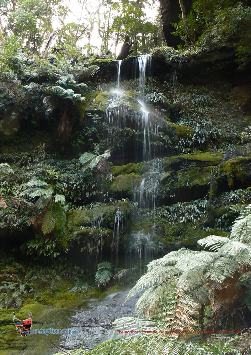
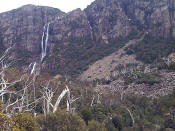
From the left below - Meander Falls,
Bastion Cascades, Chasm Falls track, Smoko Falls - Mother Cummings Peak track.
|
 |
|
| |
|
|
|
| |
 |
 |
cascade below Chasm Falls |
 |
|
| |
Meander Falls |
Bastion Cascades |
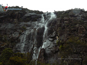
Chasm Falls |
Smoko Falls |
|
|
|
|
|
|
|