|
DELORAINE
WESTBURY
|
SPONSORS
accent on
 tasmania
|
follow updates on
| |
THE MEANDER VALLEY
The
Great Western Tiers
 |
The Meander Forest Reserve
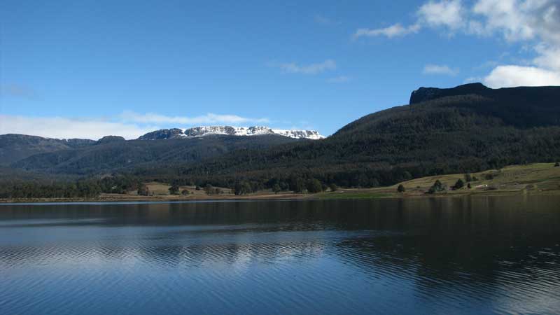
from Lake Huntsman. Mother Cummings Peak is on the right. |
|
|
|
The old Bass Highway from
Launceston to Deloraine follows the Meander River. A beautiful
scenic drive with plenty of interesting towns along the way. From
Deloraine the Lake Highway follows the Meander River to the township of
Meander and on to the Meander Forest Reserve. A new irrigation
lake, Lake Huntsman, has been created at the foot of The Great
Western Tiers providing a magnificent setting. Some of the most
beautiful walks in Tasmania can be found here. They are possibly
best visited in Autumn or Winter when the streams are flowing and fungi
and green mosses create picture perfect settings.
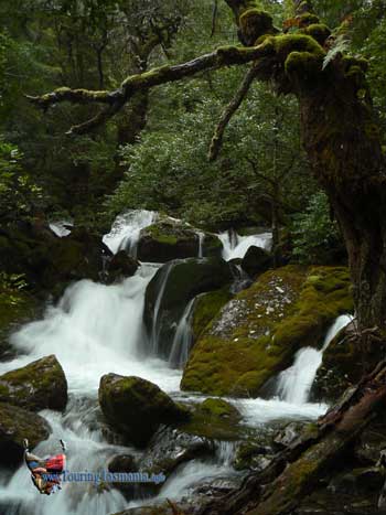
The picture on the right
is part of the Smoko Falls track. The image was selected by TruBlu
Productions as the front cover to their booklet "Tasmanian Invitation",
2008 edition. Contact us for details for purchasing the book.
|
 |
|
|


