Click for Full Page map

TASMANIA

MAP GUIDE

high resolution

INFORMATION INDEX
WHAT TO DO
 TOUR OPERATORS
WHERE TO STAY  
WHERE TO EAT

St Helen's towards the Bay of Fires

Home ] Up ] MAP - THE GREAT WESTERN TIERS ] INFO WESTERN TIERS ] MEANDER VALLEY ] [ LAKE McKENZIE ] LADY LAKE ] MEANDER FOREST RESERVE ] BASTION CASCADES ] CHASM FALLS ] SPLIT ROCK ] SMOKO FALLS ] MOTHER CUMMINGS PEAK ] PINE LAKE ] LIFFEY FALLS ] ALUM CLIFFS ] LOBSTER FALLS ] WESTMORELAND FALLS ] KARST NATIONAL PARK ] HONEYCOMBE CAVES ]

DEVIL'S GULLET
PARSONS FALLS


follow updates on


NOW AVAILABLE

SLIDESHOW DVD's

SELECTED WALKS

BY REGION


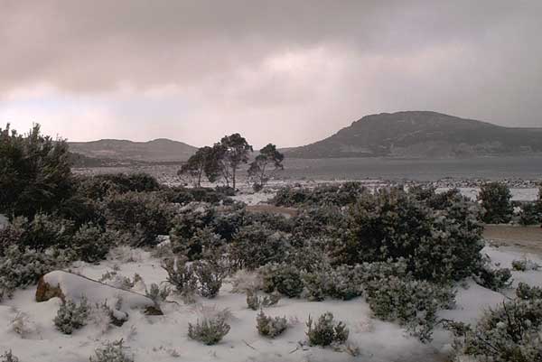
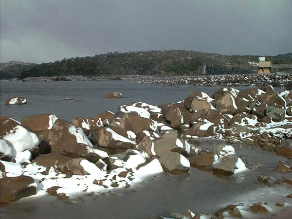
LAKE McKENZIE

The Great Western Tiers


Bleak conditions at Lake McKenzie.  Note the snow blasted rocks with the snow clinging to the western side of them.  After a very dry 6 months the lake is virtually empty.  The intake tower on the right is normally up to the walkway.

Lake McKenzie is the highest lake in Tasmania's hydro electric schemes.

Higgs Track is beyond the lake.