|
|
SPONSORS
accent on
 tasmania
|
follow updates on
| |
The
Great Western Tiers
SPLIT ROCK
|
|
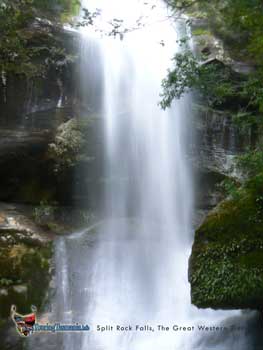
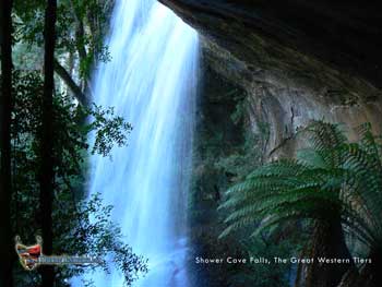
The split Rock track also commences at the
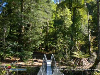
Meander Falls car park. There is a very well constructed
suspension bridge across the Meander River a hundred metres from the car
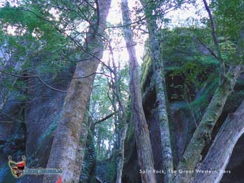
park. From here a very steep track heads up to Split Rock - about
45 minutes one way. At Split Rock a track heads off to the left to
Shower Cave Falls and Split Rock Falls. A very pretty area.
But be warned, the track between to two falls is almost like climbing a ladder!
The track continues on to re-join the Split Rock Track.
Back at Split Rock, the track continues on
between the split in the rock and on to Meander Falls. The track
requires the negotiation of a boulder field at the base of Ironstone
Mountain near the Meander Falls. The way can be difficult
requiring considerable dexterity.
RIGHT: Split Rock Falls
|
 |
|
| |
 |
 |
|
|
|
Shower Cave Falls |
Picture
postcard view of the start of the Split Rock track - a sign of things to
come - pristine rainforest. |
|
|
|
 |
 |
|
|
|
Split Rock |
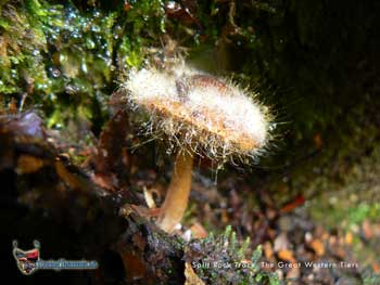
Fungi, Split Rock Track |
|
|
|
|
|
|
|


