|
follow updates on
| |
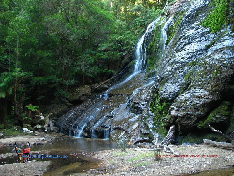
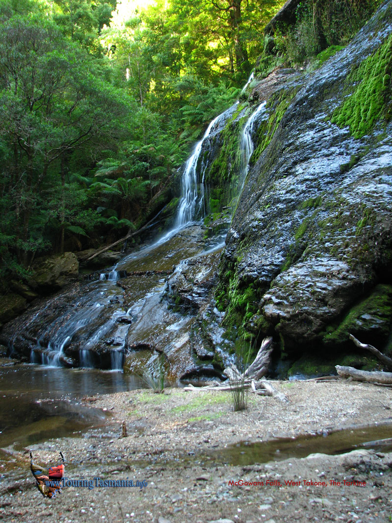
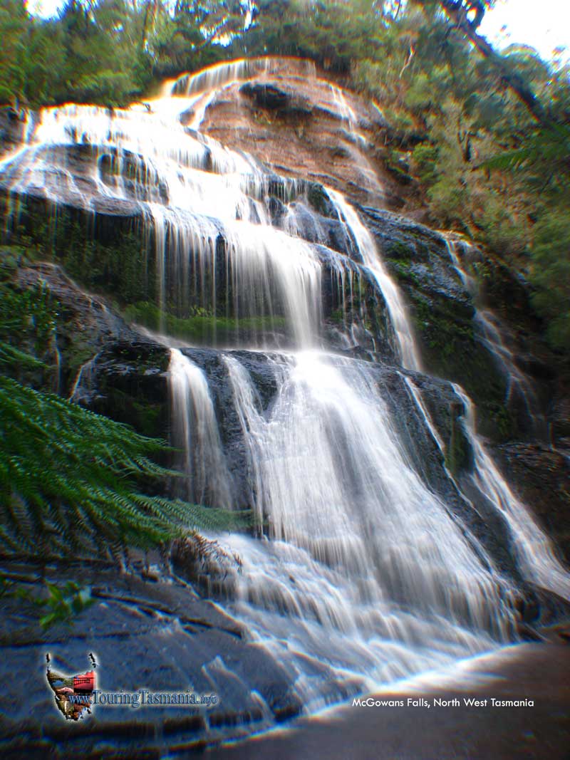
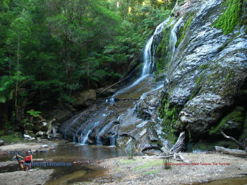
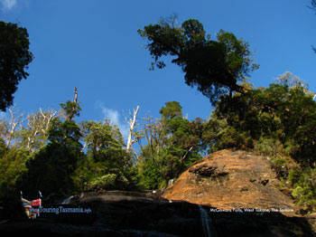
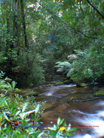
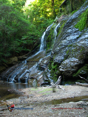
McGowans Falls
The Tarkine
|
 |
When driving to Cradle Mountain, Queenstown or Corinna, a scenic
drive can be taken from Somerset south through the Hellyer Gorge on the
Murchison Highway. 12 kilometres south of Somerset, there is a turnoff
to the west to West Takone. About 30 minutes drive from the turnoff the
track to McGowans Falls is reached. A very pretty short walk of about 10
or 15 minutes takes you to the top of the falls. There is a steep but
awkward track to the bottom of the falls which is not too difficult. Well
worth the effort. Particularly pretty with a low water flow. Another
classic short walk.
|
|
| |
 |
 |
|
| |
 |
 |
|
| |
Getting there |
|
| |
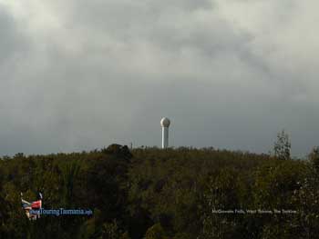
Pass the Weather Radar at West Takone on the right. |
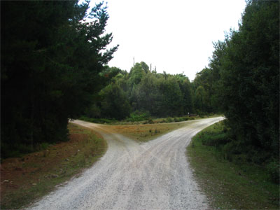
Turn Left here - continuation
of Farquhars Road. |
|
| |
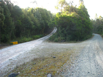
Turn right here into Relapse Creek Road.
|
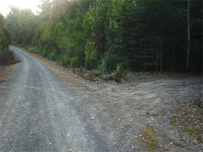
About another 2 kms from the start of Relapse Creek Rd to the start of
the track |
|
|