|
STANLEY TOWNSHIP
CIRCULAR HEAD
HIGHFIELD
follow updates on
| |
STANLEY
The
Far North West
|
 |
 |
|
| |
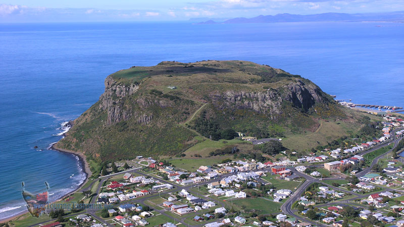
Stanley
is situated at the base of the very unique landform of Circular Head which juts
into Bass Strait on Tasmania's north coast. The head is affectionately
known as "The Nut" due to its shape. Stanley is only a 10 minute
drive from the Bass Highway about a 3/4 hour drive from Burnie and 20 minutes
from Smithton. The town has a rich history and warrants a half day visit
or more if you have the time when in the area.
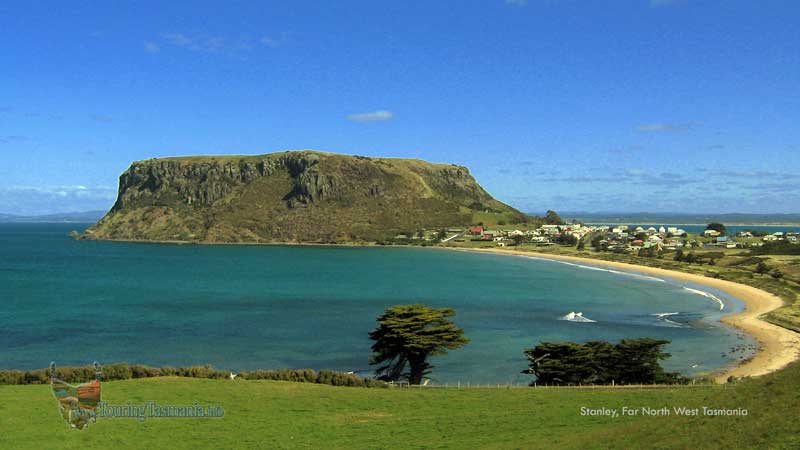
The
picture above of Circular Head, Stanley and Godfrey's Beach is taken from just
next to the Highfield House property. Stanley as well as the larger town
of nearby Smithton have a wide range of accommodation and cuisine options.
|
|
|


