|
Badgers
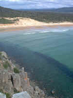
Beach near Greens Beach
from
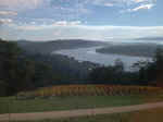
Brady's Lookout |
From Launceston, there are several main population centres on the West
Tamar. These include Legana, Grindelwald, Exeter, Beaconsfield,
Beauty Point and the Clarence Point, Kelso and Greens Beach area.
The West Tamar Highway is the major access to the area. The 'old'
highway follows the river edge from Legana to Beaconsfield and is a leisurely and
scenic alternative to the main road.
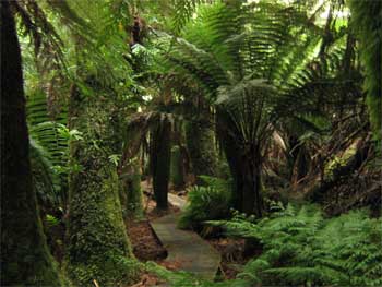
There are many side routes off the main highway. These include a road at Legana which accesses Notley Fern
Gorge to the west. There is a side
road west again to Grindelwald "Swiss Village" just north of Legana.
The Holwell road from Beaconsfield accesses the Holwell Gorge. The
Frankland highway from Exeter is an alternative route to Devonport.
The whole valley and beyond abounds with high quality wineries and berry
and produce farms, accommodation venues and eating
establishments.
The first stop is TAMAR
ISLAND
|
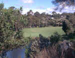
Greens
Beach Golf Course
Notley
Gorge |