|
follow updates on
| |
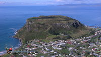
Tamar Valley
Tamar
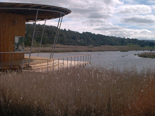
Island Wetlands
| |
Just outside the Launceston city boundary
along the West Tamar Hwy are
the Tamar Island Wetlands. There is a 3 kilometre walk to Tamar
Island.
RIGHT: Visitors
Centre
Light
refreshments available
|
 |
|
| |
 |
 |
 |
 |
|
|
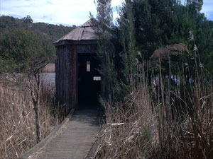
Vantage
point, a few hundred metres from the Visitors Centre |
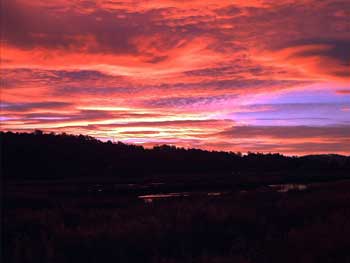
Sunset over the Tamar Wetlands
|
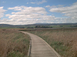
Boardwalk
to Tamar Island about
an hour and a half return. Mt Barrow is on the horizon. One of the three
mountains that dominate Launceston's
eastern skyline. |
|
|