|
|
SPONSORS
accent on
 tasmania
|
follow updates on
| |
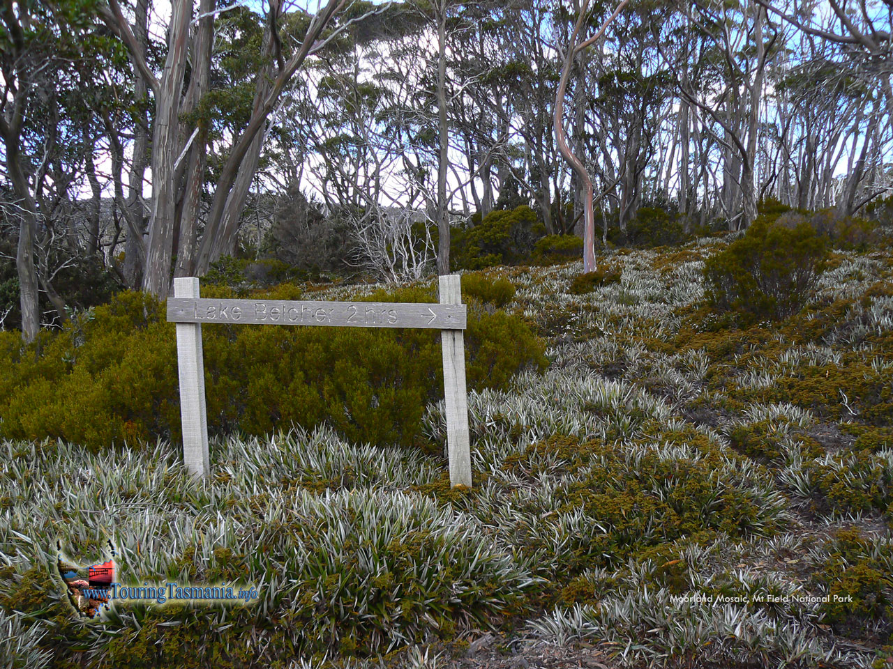
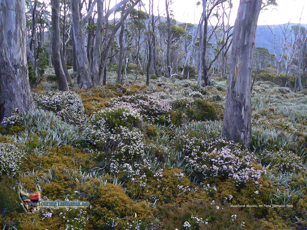
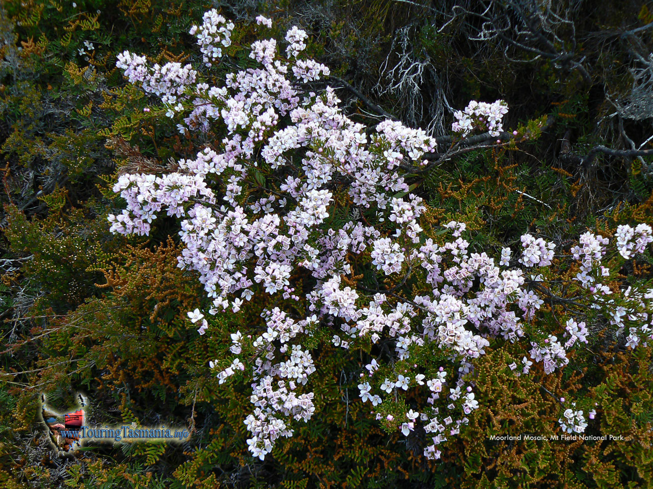
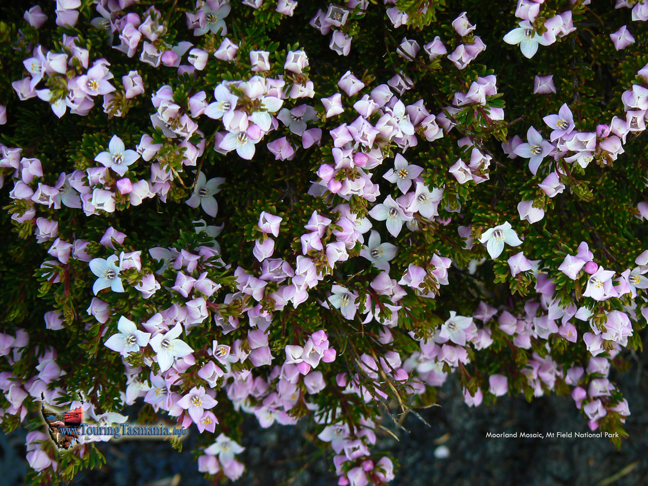
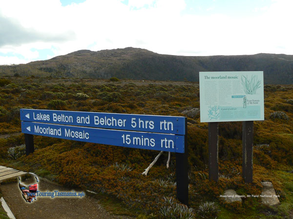
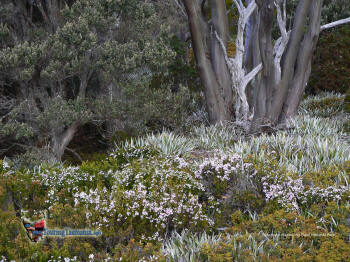
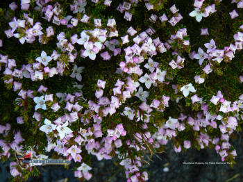
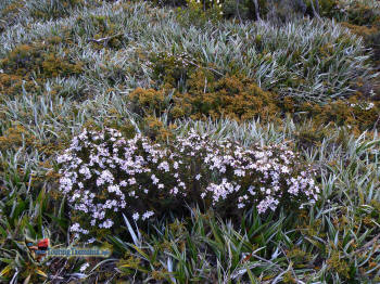
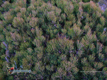
LAKE BELTON TRACK - Moorland Mosaic
Mt Field - Lake Pedder
| |
The road from the Mt
Field visitors centre heads up to the ski fields on Mt Mawson 14
kilometres away. After about 10 kilometres the road emerges from the
forest and Lake Fenton is passed on the right. The road then crosses
a short plateau where the sign pictured on the right is passed. A
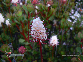
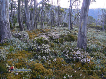
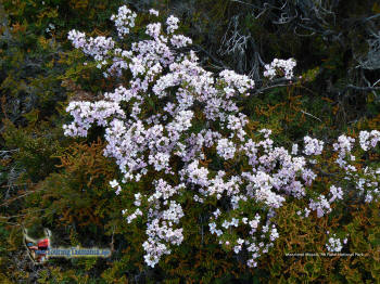
short walk to the tree line passes through a field of colour. Well
worth the short 20 minute return walk.
Click on the images as
they are best appreciated in full screen.
Considerable care
needs to be taken on the road as it is very narrow - particularly
the lower section. The road was initially built to access the ski
fields. As such, in winter traffic usually heads up of a morning and
down of an evening.
|
 |
|
| |
 |
 |
|
| |
 |
 |
|
| |
 |
 |
|
| |
 |
 |
|
|