|
TASMANIA MAP GUIDE |
a pictorial guide to Tasmania's natural attractions |
|
|
|
 |


|
|
follow updates on
|
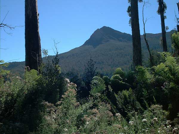
WYLDS CRAG Mt Field National Park
At the north eastern end of the Florentine Valley is Wyld's Craig. We didn't climb the peak today but walked the slopes below through an untouched forest. A 7 hour trek. Our objective was to search for tall trees. We encountered a wide variety of vegetation.
|