|
TASMANIA MAP GUIDE |
a pictorial guide to Tasmania's natural attractions |
|
|
|
 |


|
|
follow updates on
|
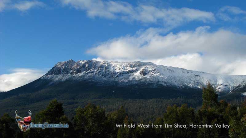
Tim Shea Mt Field National Park About 6.5 kilometres past the Stringy Bark Gum reserve a road branches off to the left to the mountain called Tim Shea. The views from the top are unsurpassed. The last 2 kilometre section of the road is narrow and very steep. Guided 4WD trips to the top are recommended. Good views can still be taken in where the road narrows. A little further along the valley there is an access road to a place known as Growling Swallet. When we arrived here a tree was blocking the road.
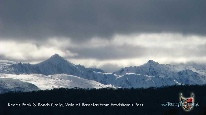
View of Reeds Peak from near Tim Shea (12 X Zoom)
Mt Field West from Tim Shea road
|