|
|
SPONSORS
accent on
 tasmania
|
follow updates on
| |
Mt RUFUS Gallery
Cradle
Mt - Lake St Clair National
Park
| |
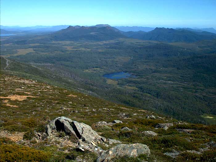
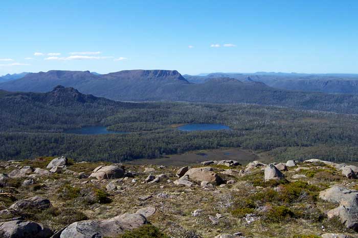
The view south west from the summit of Mt
Rufus. From the left is Lake King William, Mt King William I and Mt
Arrowsmith. The Lyall Hwy to Queenstown can be seen in the valley.
Lake Dixon is in the foreground. |
|
| |
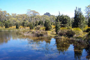
Tarn with Mt Hugel in the distance
Mt Rufus from near the western junction
of the face track
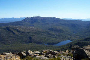
The view west from the summit.
Lake Undine is in the foreground with Australia Tarn high to the left
under the summit of Mt Gell. The
wedge shaped peak above the tarn on the horizon is Frenchman's Cap

View of Mt Olympus from near the summit
of Mt Rufus
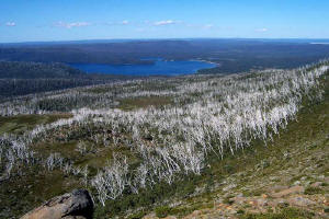
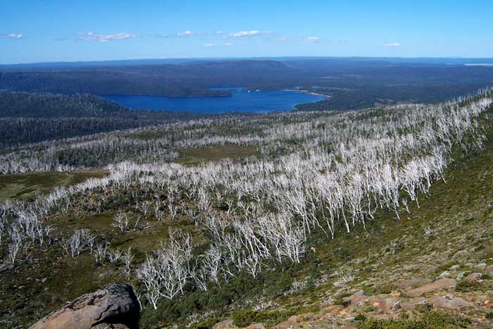
The southern end of Lake St Clair from
near the summit of Mt Rufus.
|
|
| |
|