|
|
SPONSORS
accent on
 tasmania
|
follow updates on
| |
Strathgordon
LAKE
PEDDER
| |
A good sealed
road winds it's way to the now small hydro town Strathgordon. A hotel with
motel units is in the town pictured below. Fuel is available.
THE
CHALET HAS NOW RE-OPENED
2012
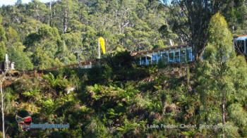
LAKE PEDDER CHALET
Excellent accommodation and meals.
www.lakepedderanglersclub.com |
 |
|
| |
|
|
|
| |
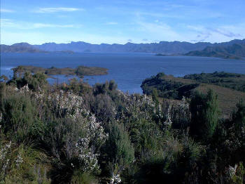
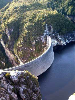
The 2 pictures on the
right were taken from the scenic lookout just west of Strathgordon.
On a clear day there is usually someone here with a picnic set up just
to take in the stunning view. click for
large view
|
 The view
west from the lookout. Serpentine Dam is beyond the ranges in the
foreground. A walk to Mt Sprent commences on the other side of the dam to the top of
the ranges. A very steep climb.
|
The view to the South East |
|
| |
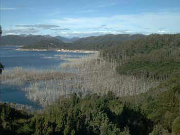
RIGHT:
Gordon Dam near Strathgordon.
FAR RIGHT:
Lake Gordon from near the dam. Trees were left to die when the area
was
flooded. |
 |
 |
|
|