|
|
SPONSORS
accent on
 tasmania
|
follow updates on
| |
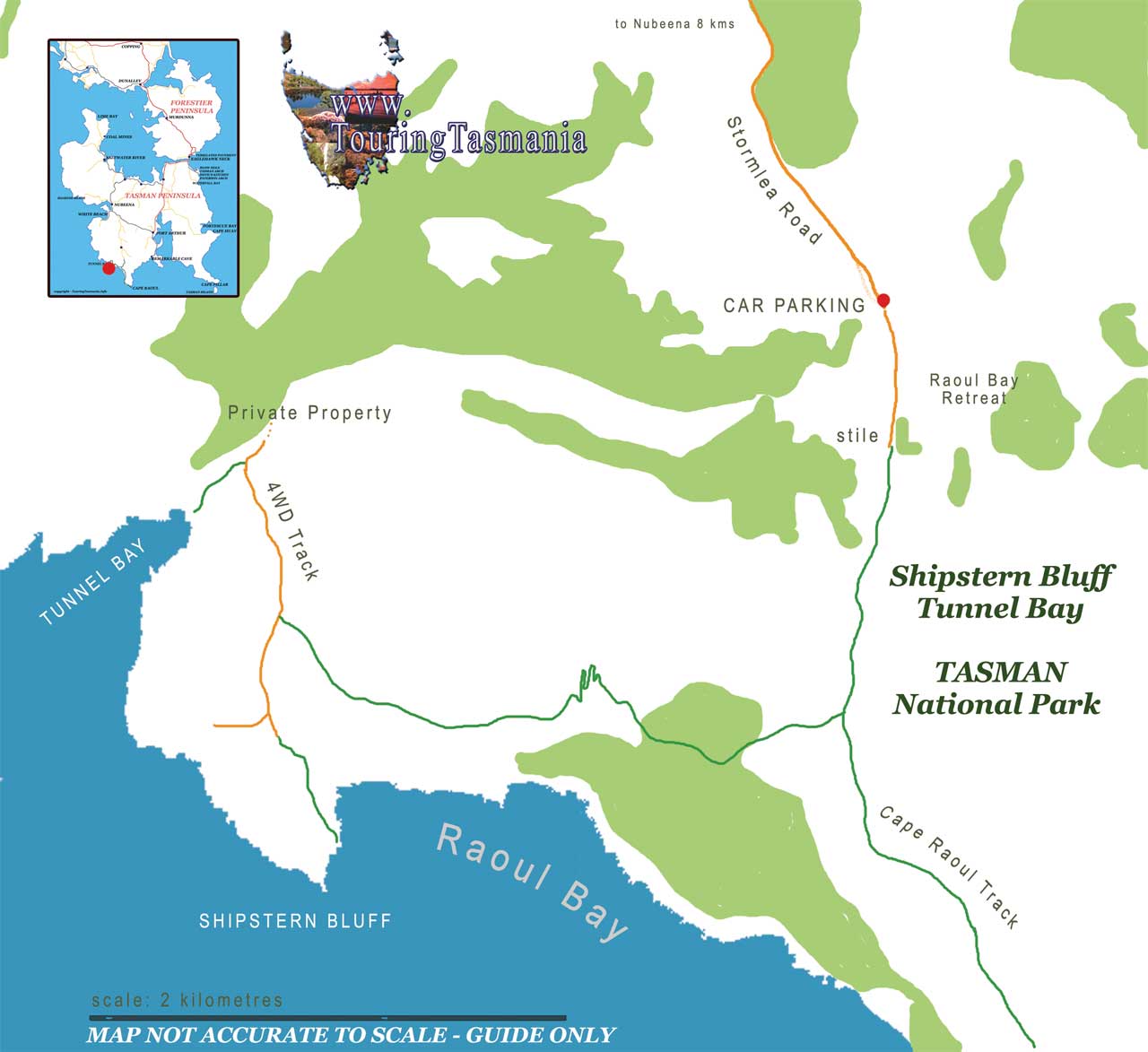
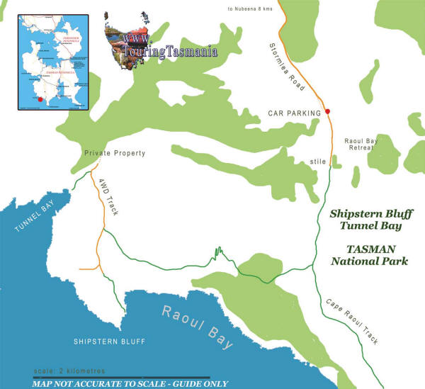
Shipstern Bluff Map
The
Tasman Peninsula
 |
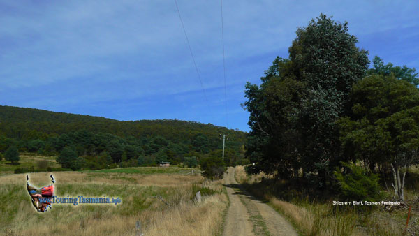
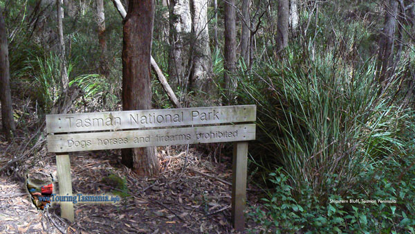
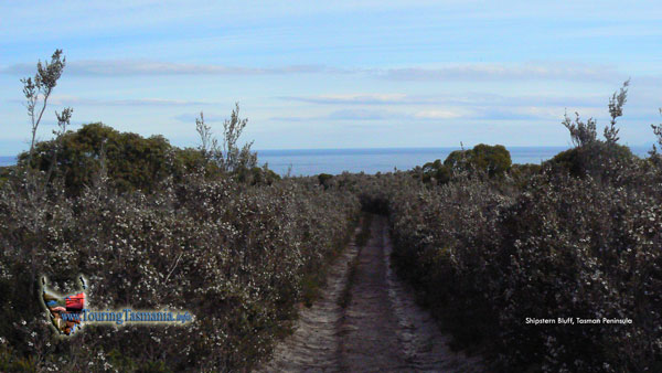
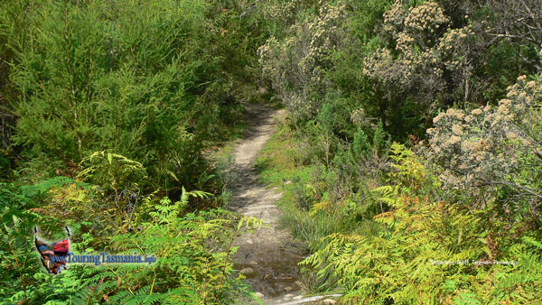
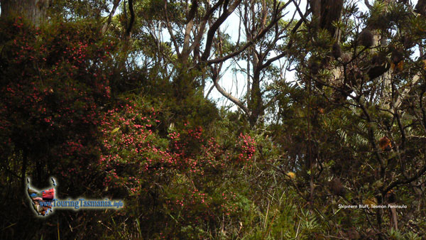
The track to Shipstern Bluff and
Tunnel Bay is very clearly marked and dry or 'hardened'. The only difficult
aspects of the track are two steep sections.
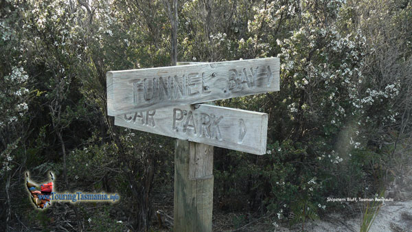
Parking where the road narrows to one lane.
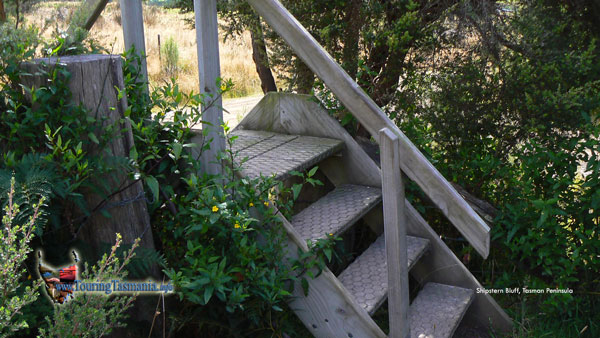
Cross the fence at the telegraph pole in the
image above. Start of the track.
|
|
|
| |
15 minutes
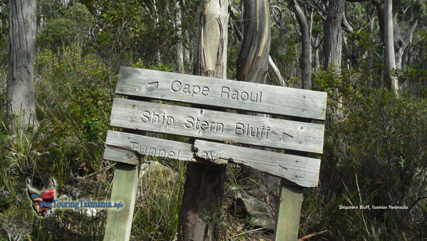
Junction of the Cape Raoul track - 30
minutes
First view of the coastline. Start of the
steep section of the track. 40 minutes.
Junction with the Tunnel Bay track. 1 hr
40 min
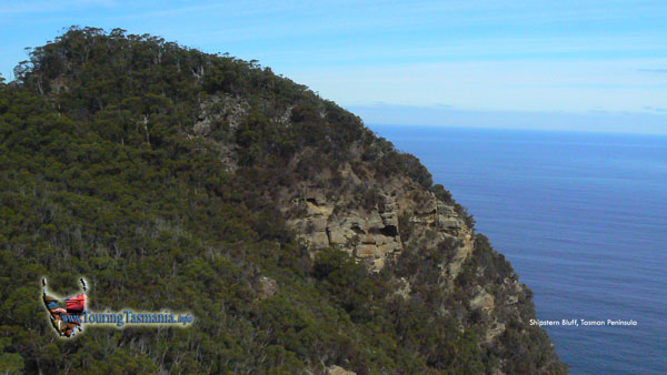
Crossing the top of Shipstern Bluff.
Almost 2 hours to the base of Shipstern Bluff.
A wide 2 level rock shelf stretches from
the eastern to the western side of Shipstern providing fine views. The
shelf is easy to access. The track down the eastern side of Shipstern is
also easy to negotiate. A little steep heading back up. |
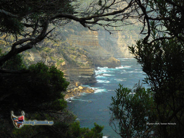
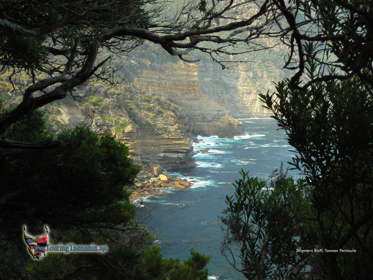
The view looking east to Raoul Bay from the track
heading down the side of Shipstern Bluff. |
|
|