|
COURLAND BAY
|
SPONSORS
accent on
 tasmania
|
follow updates on
| |
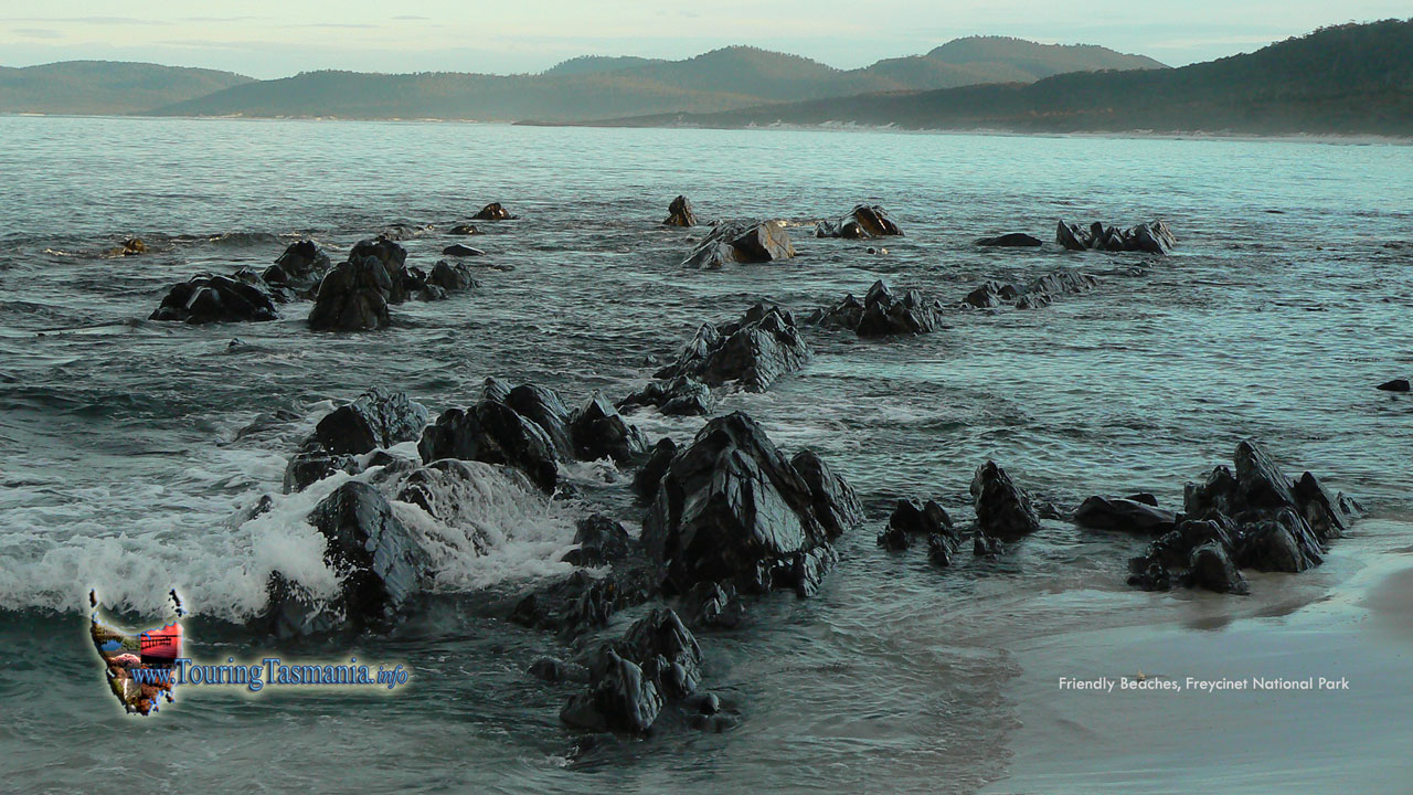
FRIENDLY BEACHES
Freycinet National Park
 |
The turn off to Freycinet is about
a 10 minute drive south of Bicheno. Another 10 minutes drive towards Coles Bay
on a good sealed road there is another turn off to Friendly beaches to the left.
Yet another 10 minutes further on the view below is reached. A road south for
another kilometre or two with another heading north about the same distance to
Isaacs Point. There is an airstrip here also where scenic flights are provided
over the area - magnificent. The beach can be walked either way and link up to
other tracks. The walk north to Courland Bay takes 2 or 3 hours. Maps show a
track that continues on high up on Cape Lodi to Bicheno.
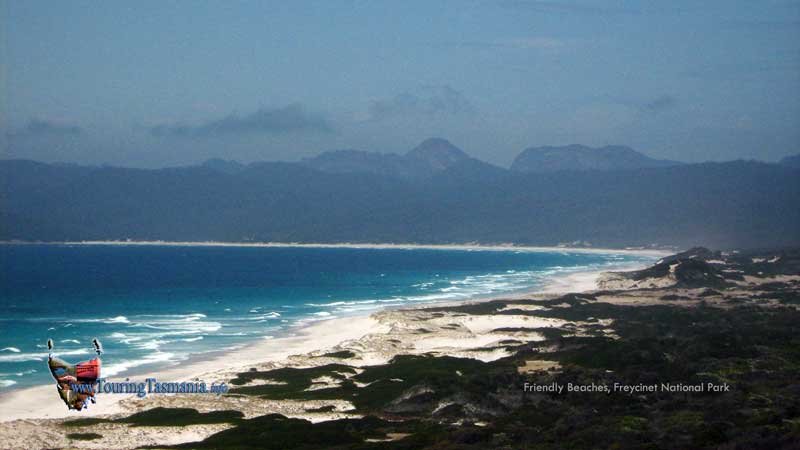

ABOVE: Looking south towards The
Hazards.
|
|
| |

Looking south towards The Hazards
with Isaacs Point in the foreground on the right.
|
|
|