|
follow updates on
| |
Mt Pillinger
Mersey Forest Road
 |
About 12 kilometres along
the Arm River forestry road from the
Arm River
Falls is the commencement of the Arm River Track. Arm River
road branches off the Mersey Forest Road just north of Lake Rowallan. The track
provides access to the Overland Track at Lake Eyr. A junction to
Mt Pilinger is reached after an hours walk. The Mt Pillinger track
heads off to the left. It is not signposted and easy to miss!
Another 20 or 30 minutes further on is another junction. A right
turn heads back to the Arm River track allowing a loop walk. The
left track here takes you to the summit of Mt Pillinger. Another
hour further on.
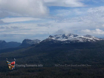
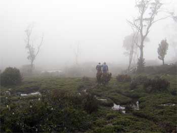
One of the great panoramic
views of the Mountains of the Overland Track to the west,
Lee's Paddocks to the south west and the
Walls of Jerusalem and the
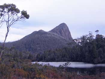
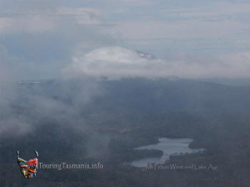
Great Western Tiers to the east. The picture on the right is
Mt Pillinger taken from Lake Price on the Arm River track - about half
way between the two junctions in the track to the mountain.
Despite recent rain the
track was mostly dry. There is a quite steep 20 minute section
near the start of the walk and another not so steep near the summit of
the mountain.
|
 |
|
| |
 |
 |
|
| |
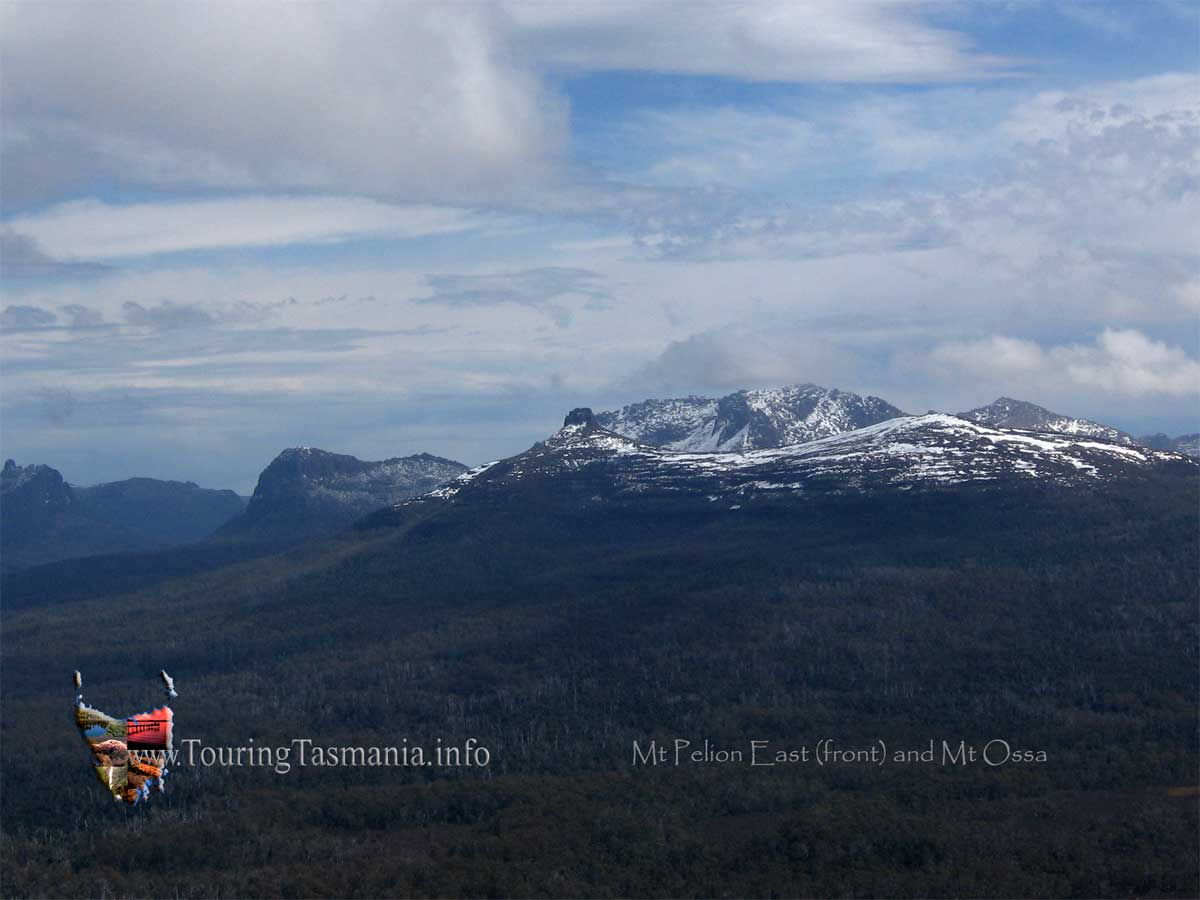
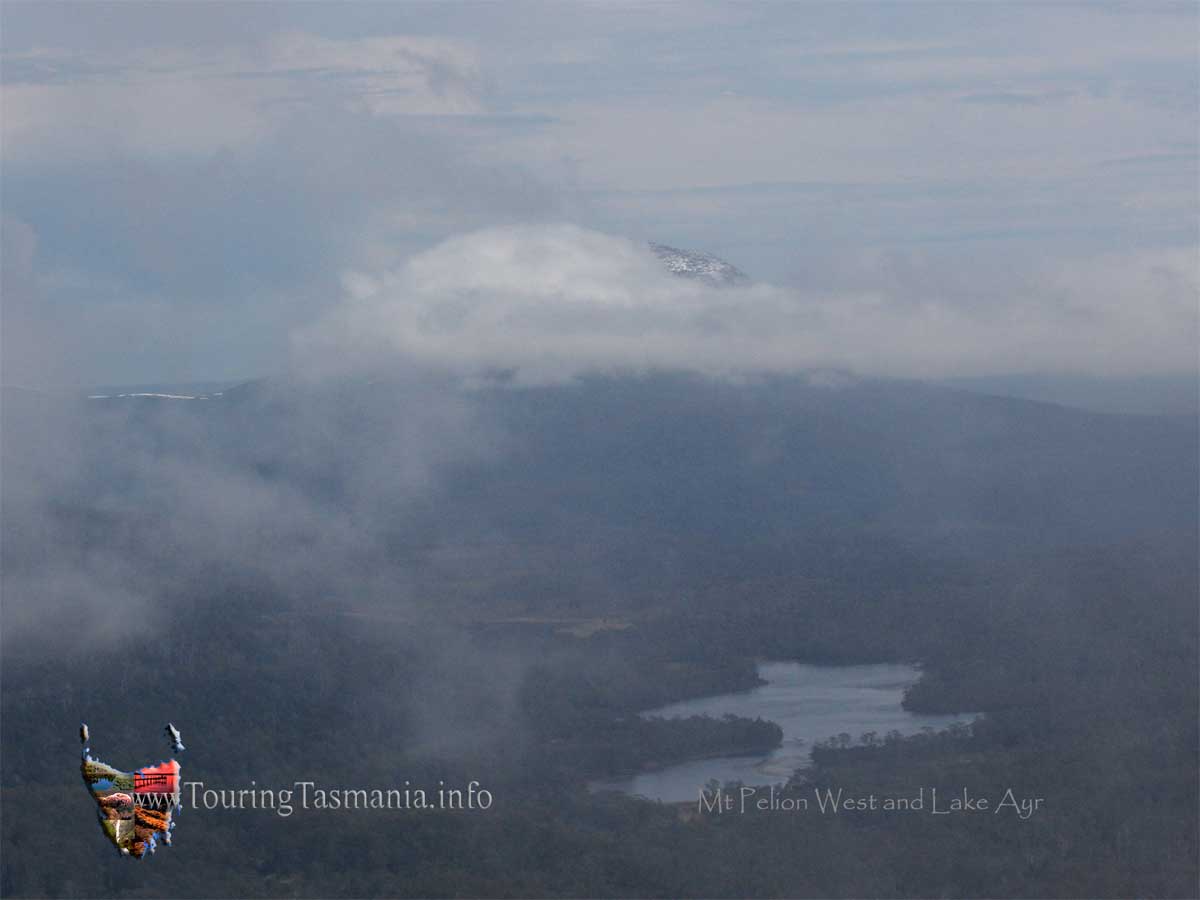
The picture above left is
of Mt Ossa, Tasmania's highest mountain at 1617 metres. Mt Pelion East
is in front of Mt Ossa with it's distinctive cone shaped peak on it's
left side. Mt Pelion West is shown in the picture on the right and
was taken using a zoom lens. Both pictures could be 'stitched'
together for a continuous panorama. Not shown further to the right
are Mt Oakleigh, Barn Bluff and Cradle Mountain. CLICK BOTH IMAGES
FOR DESKTOP SIZE VERSIONS. |
|
| |
 |
 |
|
| |
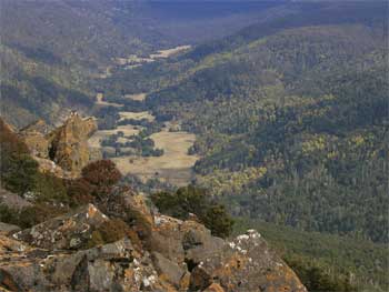
Lee's Paddocks just to the
left of Mt Ossa from Mt Pillinger. The Mersey River flows through
the valley. |
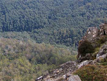
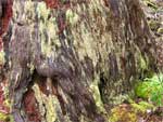
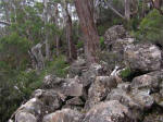
Pristine rainforest right
next to dry schlerophyl eucalypt forest directly below Mt Pillinger. |
|
| |
 |
 |
|
| |
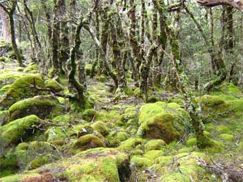
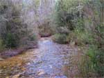
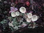
Beautiful rainforest just
next to Lake Price. |
The western access track
to Mt Pillinger |
|
 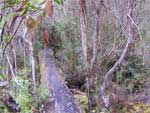  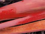  
Colours of the track. The
image on the far left is the start of the track. Wading along the stream
is necessary.
|