|
|
SPONSORS
accent on
 tasmania
|
follow updates on
| |
STORY'S CREEK & STACKS
BLUFF
The Fingal Valley
 |
The loop drive to the north of the main
highway between Avoca and
Fingal passes directly below the southern end of Ben Lomond National
Park. A spectacular drive. A further short diversion to Storys Creek
provides a closer look at the mountain. The diversion bypasses
Rossarden. The loop drive has recently become possible due to the
re-construction of a bridge just west of Storys Creek.
See the map. In early summer you are
rewarded by wild lupins in flower. Storys Creek is also the
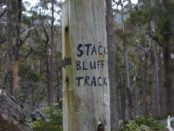
commencement of the walking track to Stacks Bluff. 3 kilometres
along a rough logging track takes you a small 'car park'. Take the
left 'road'. It is 30 minutes to the commencement of the track.
The road is too rough for any vehicles and was blocked by a tree a few
hundred metres along the road the day we visited. We made the
start of the track the day we visited. A short diversion to a
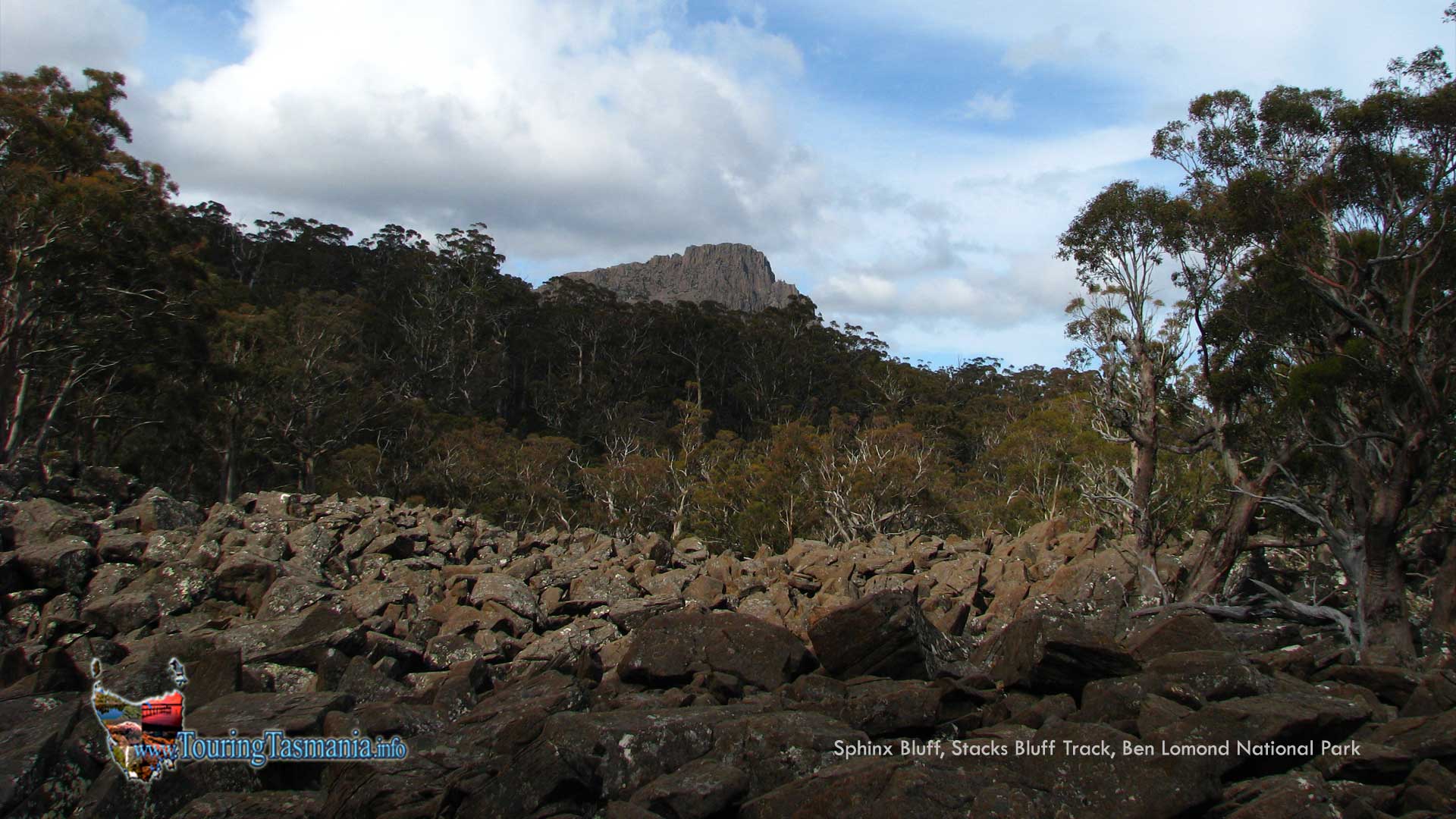
boulder field provides great views of the mountain.
|
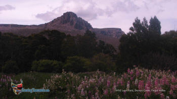
Sphinx Bluff and the lupin field at Storys
Creek
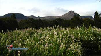
Storys Bluff and Sphinx Bluff (right)

Boulder field and Sphinx Bluff
 |
|
|