|
TASMANIA MAP GUIDE high resolution |
|
INFORMATION
INDEX |
|
 |
|

|
|
BY REGION |
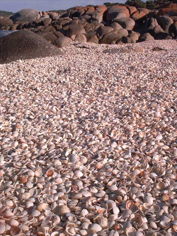
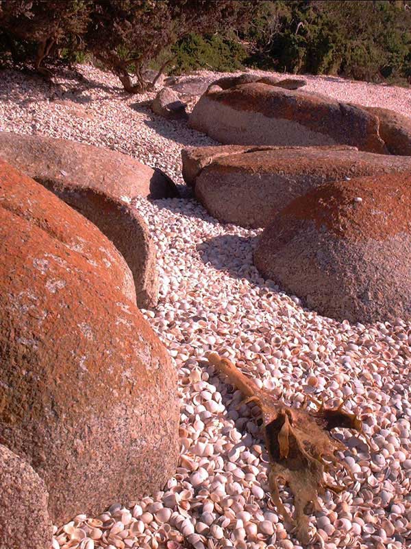
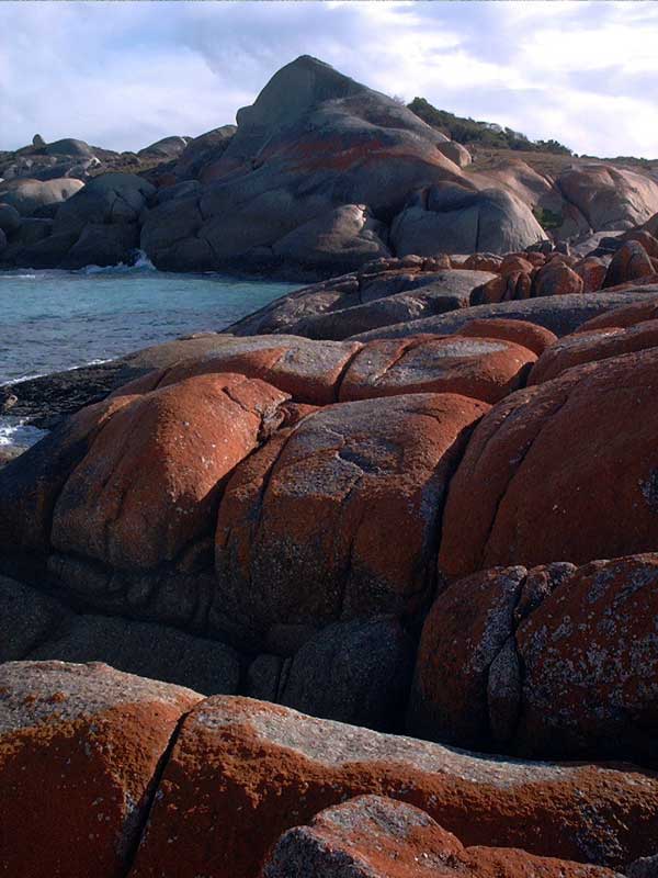
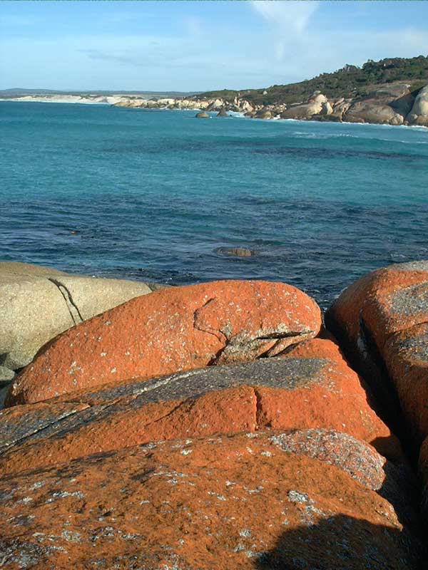
North East Tasmania SHELLY COVES At the southern end of Abbotsbury Beach is a series 6 or 7 small coves and beaches. The coves are completely covered with shells. The walk from the northern end of the beach to the start of the coves is about an hour and a half. There is a 4 wheel drive track from near Eddystone Point lighthouse which follows the coast. Not recommended for the family sedan. About 2 1/2 kilometres along the track there is access to the coast at the northern end of the shelly coves. A hours beach and rock hopping takes you to hippo rock (I am not sure of the name of the rock formation) where there is a commanding view of Abbotsbury Peninsula and beyond to the Bay of Fires. Abbottsbury Peninsula encloses Anson's Bay, a small holiday hamlet.
There are also a number of lagoons hidden behind the sand dunes of Abbotsbury Beach.
Click thumbnails below for higher resolution version
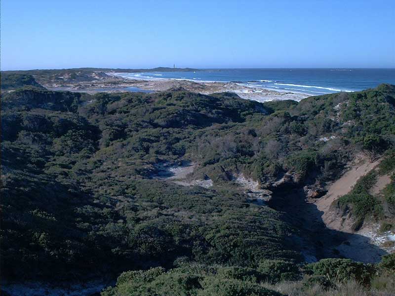
View from the 4 wheel drive track near Shelly Coves. The high resolution image shows the lagoons. Note their proximity to the reef near the beach.
Abbotsbury Peninsula in the distance. |