|
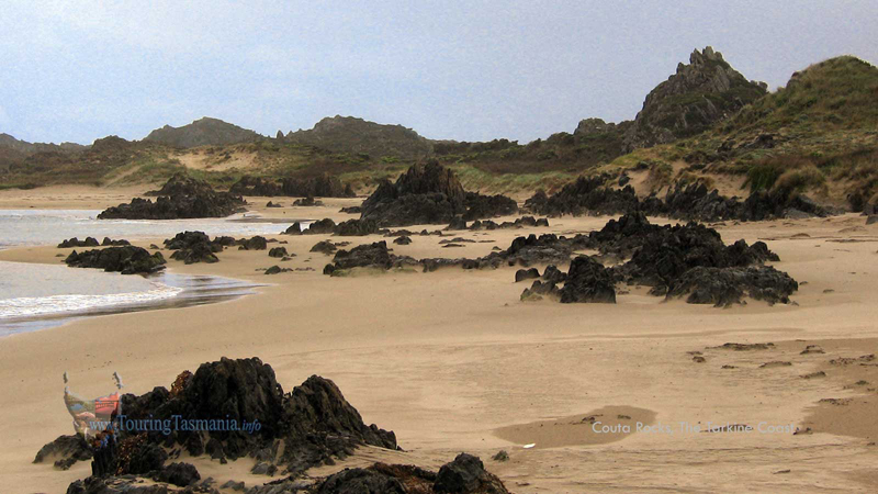
COUTA ROCKS
follow updates on
| |
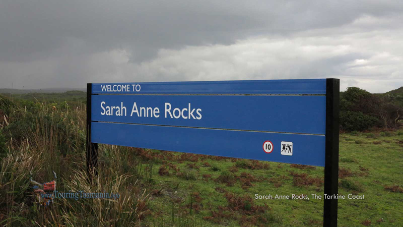
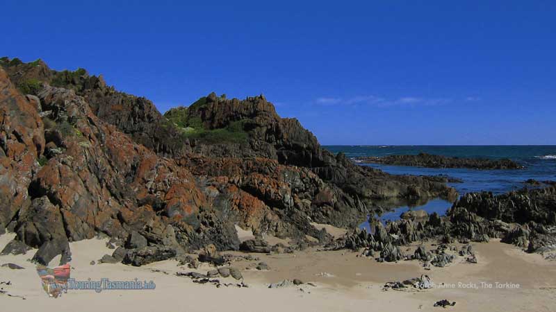
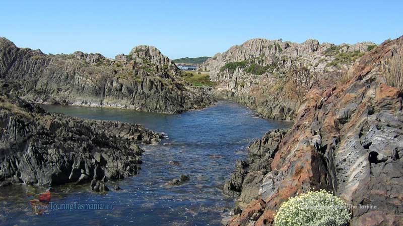
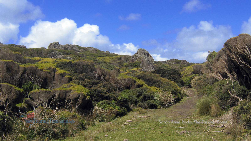
Sarah Anne Rocks
The Tarkine
| |
The road south from Smithton passes Allendale
Gardens and Edith Creek before crossing the Kanunnah bridge over the Arthur
River. The road then continues on to the West Coast at Couta Rocks.
The road from Kanunnah Bridge to the Arthur River township has now
been been sealed. Two kilometres north of Couta Rocks are the most interesting and colourful Sarah Anne
Rocks. Classic Tarkine coastal scenery.
|
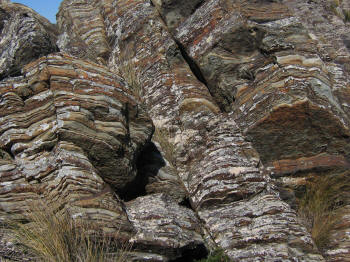
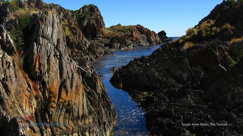
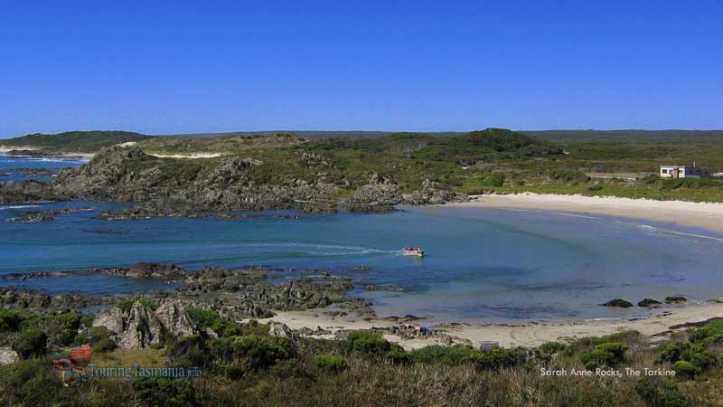
Almost 2 kilometres of intensely colourful
costal scenery. There are half a dozen shacks here as well as a beautiful
beach. Easily accessible by
conventional car. |
|
| |
 |
|
| |
 |
|
| |
 |
|
| |
 |
|
| |
 |
|
| |
 |
|
|


