|
TASMANIA MAP GUIDE |
a pictorial guide to Tasmania's natural attractions |
|
|
|
 |


|
|
follow updates on
|
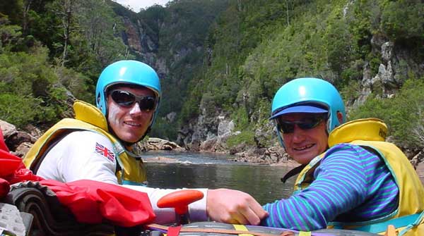
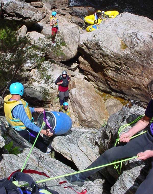
The Wild West THE FRANKLIN RIVER Part of the Wild Rivers National Park
One of Australia's great wilderness adventures.
Images supplied by Brad Atwal:
World
Expeditions - WINNER of the 2001 National Travel Industry
Brad supplied these pictures without giving details of the locations. The Franklin River rafting expedition can start in a few locations. One is where the Collingwood River crosses the Lyell Highway between Lake St Clair and Queenstown. From here the river winds it's way around the base of Frenchman's Cap and on to the Gordon River. Another is at Mt McCall which can be accessed through Queenstown along the Mt Jukes road. From here the 'voyage' around Frenchman's Cap is missed.
In 1982 the Franklin River was earmarked for destruction by a proposed hydro electric scheme. The project was halted by the federal government of the day.
|