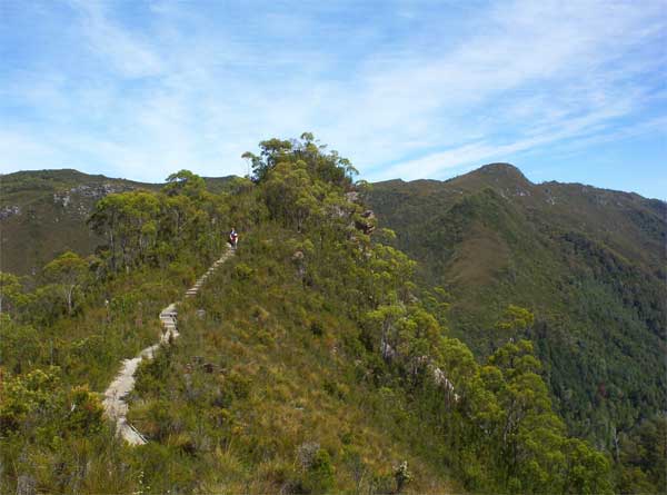
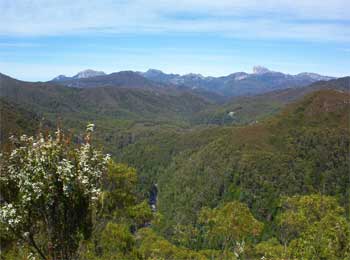
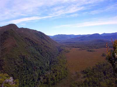
A short 20 minute walk one way from
the highway takes you to Donarchy's Lookout which provides 360 degree views
of the surrounding Wild Rivers National Park.
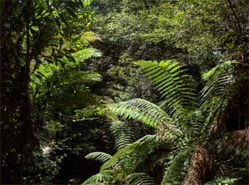
The walk initially follows the
old road for a few hundred metres before branching off through rainforest.
Uphill most of the way but an easy grade on a good track.
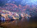
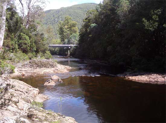
5 or 10 minutes drive further
west the road crosses the Collingwood River (see bottom image). The location
is the access point for rafting on the Franklin River. There is a
camping but no facilities. Pyrite or "Fools Gold" can be found in the river
bed here.
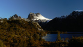
Franklin River and Frenchman's
Cap from Donarchy's Lookout.