|
BLUFF RIVER GALLERY
follow updates on
| |
BLUFF RIVER GORGE
The Road to The East Coast
|
|
NEW GALLERY - JUNE 2016
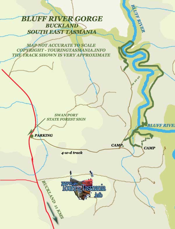
The road from Hobart to
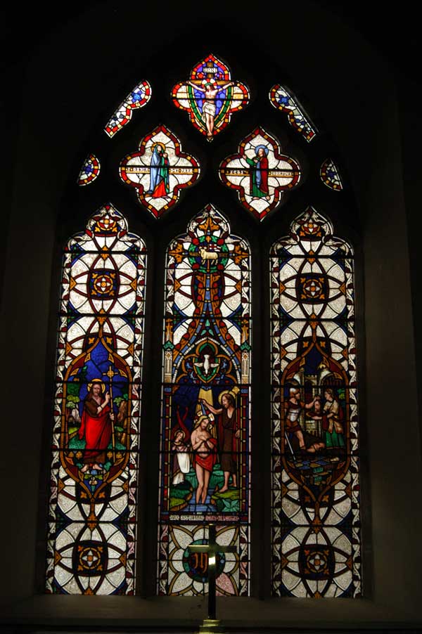
the East Coast passes through the small but interesting settlement of Buckland.
Buckland is renowned for the historical St John The Baptist Church - click on
picture below. Well
worth the stop. Opposite the church there is a turn to the north which
heads towards Oatlands. About 14 kilometres along the road there is a road
heading to Levendale to the left. Here the road passes a large paddock on
the right. A 4WD track passes along the northern edge of the paddock. There is a
parking area by the road at the start of the track.
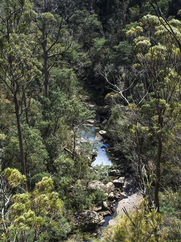
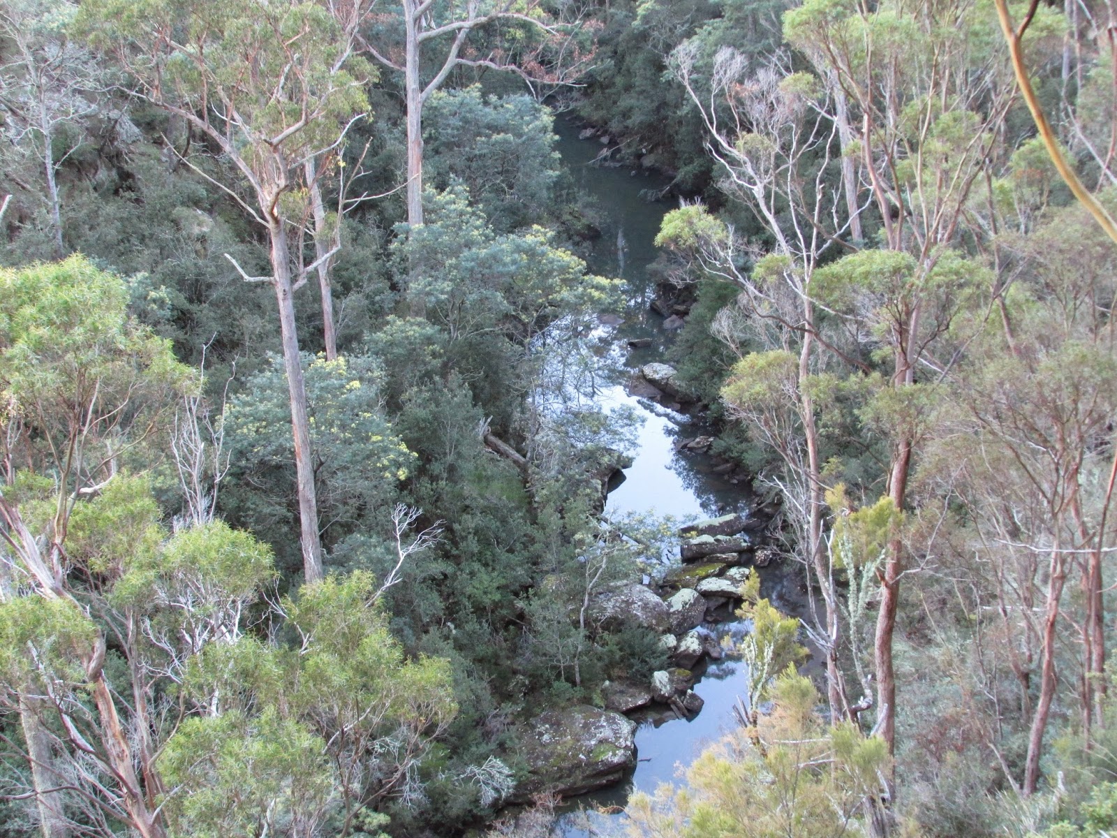
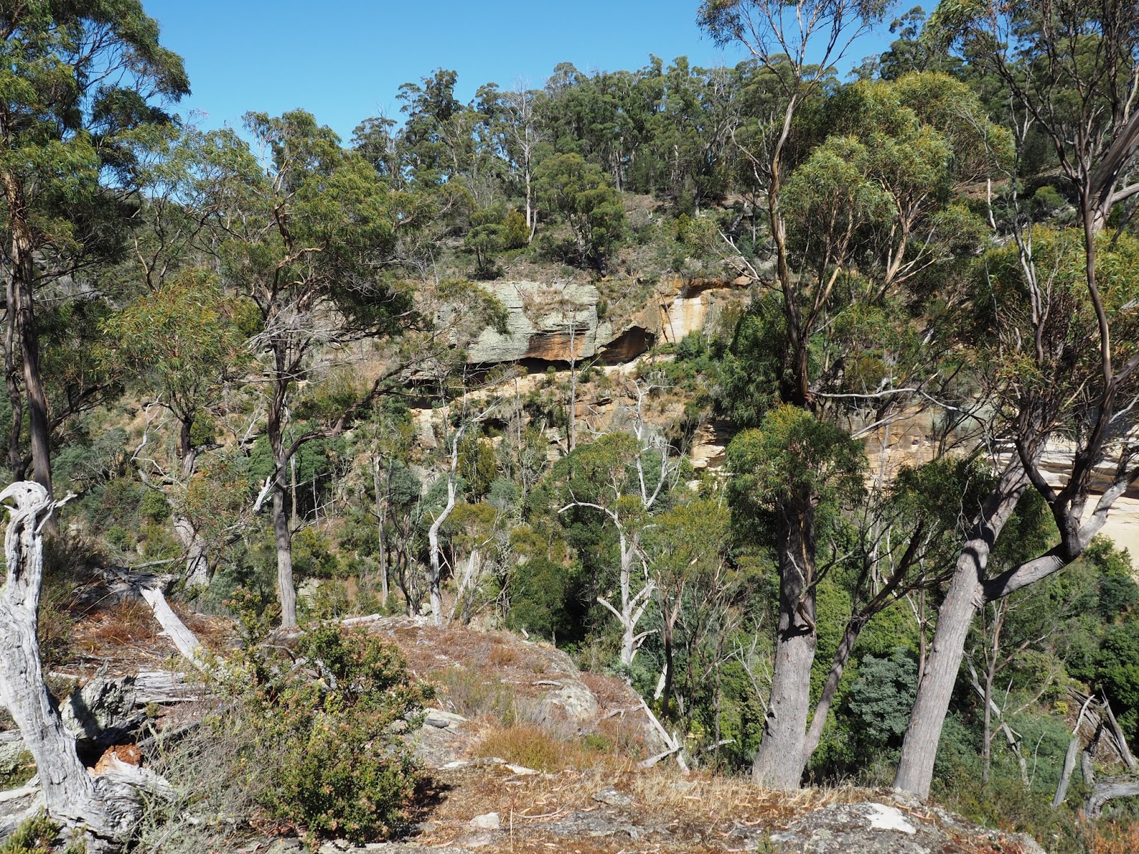
A 30 minute walk along the road
will bring you to the edge of the Bluff River Gorge. (Just keep to the
right near the fence line). At one point there is a taped trail which
heads right and down a
slope to a rivulet crossing. A track is encountered near a makeshift
camping ground. The track continues over the fence and a short walk up the
hill takes to a lookout at the edge of the gorge. Once crossing the fence
there is no defined track. A trail can be picked up by walking to the
right with directions marked on the rocky ground. A track drops down to
the left and heads back to the left underneath the lookout. Many small
caves are located here. The track continues on down to the river.
The main walk through the gorge can be seen across the river. Just before
the river crossing another track heads back out of the gorge. This is
another access to the gorge without visiting the lookout.
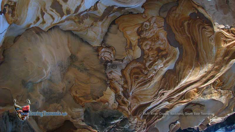
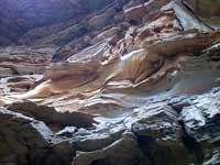
A very different and intriguing walk
passes through the gorge which has been carved out of sandstone. The track
passes by numerous colourful patterns similar to the Painted Cliffs on Maria
Island.
The track is relatively
difficult to find. The river crossing were difficult with a low water
level. The river would not be passable with even a slightly higher than
normal river level. The track is very well marked with tape but can be
difficult to find at times - particularly exiting the gorge at the north
eastern end. The track is quite steep in places and fairly strenuous.
Once leaving the gorge at the end of the walk one of the 4-W-D tracks is
encountered. The main road is a 45 minutes walk out.
Two tracks were not explored the
day we visited. The map above is very much a guide only to the northern
end of the walk.

|
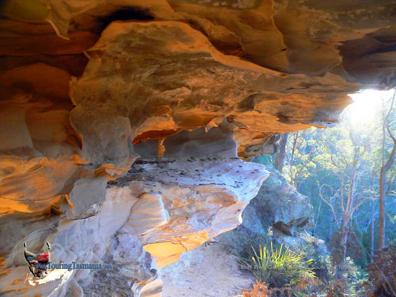
Sandstone formations glow in
the afternoon sun.
 |
|
|
|
 |
 |
|
|