|
TASMANIA MAP GUIDE |
a pictorial guide to Tasmania's natural attractions |
|
|
|
 |


|
|
follow updates on
|
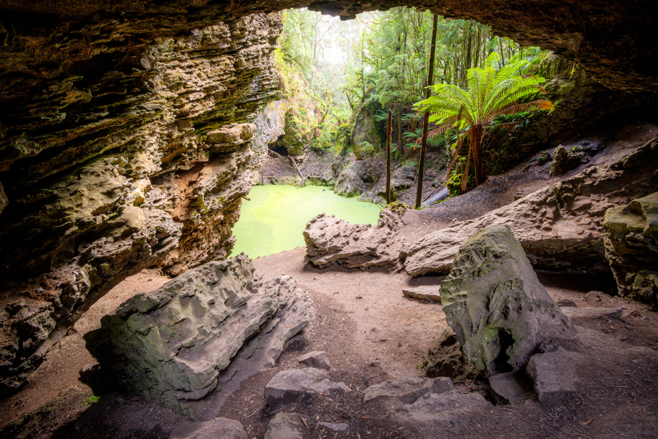
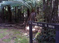
TROWUTTA ARCH The Tarkine
A few kilometres south of Edith Creek there is a divide in the road. The right turn heads off to Couta Rocks on the "Tarkine" coast. The left turn passes through Trowutta and on to the Tarking Drive. Just past Trowutta, the road takes a sharp left hand bend. A minor road continues straight on. A further kilometre after the turn Reynolds Road heads off to the right through tree plantations and farms. A few kilometres along, there is another abrupt left turn - Gun Road. Another couple of kilometres or so the Trowutta Caves State Reserve is reached. A few hundred metres further is the start of the Trowutta Arch track. A short 10 minute easy well defined walk leads to a most interesting geological feature - the Trowutta Arch. Quite different.
|