|
|
SPONSORS
accent on
 tasmania
|
follow updates on
| |
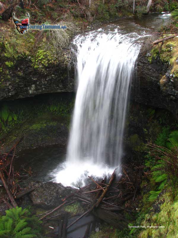
The
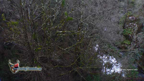
Highland Lakes
TARRALEAH FALLS
|

|
We mention on the West Coast cover page
the drive from Hobart to Queenstown is a 3 or 4 hour drive. To break up
the journey there are many short walks along the way.
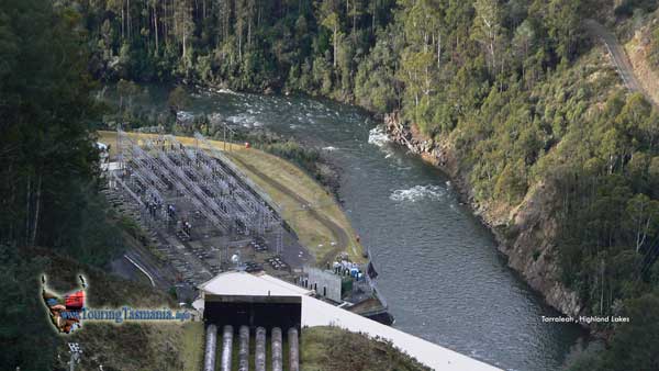
After an hour and a half drive the town of
Tarraleah is reached. The town was built for the development of the
hydro electric schemes in the area. It has recently been developed into
a high quality tourist resort.
The town is a kilometre off the main Lyell
Highway and rejoins the highway where the road descends into the
Tarraleah gorge.
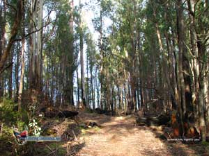
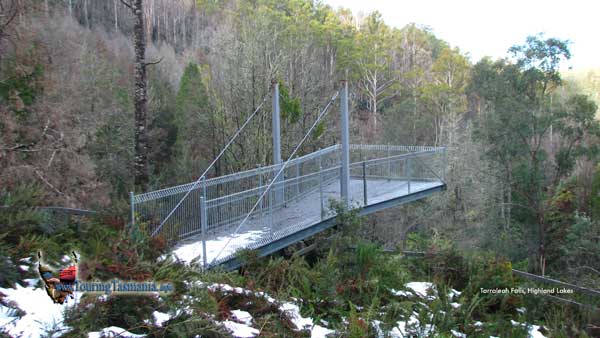
The road in from the south follows
pipelines to a point where there is a platform which provides a view
down the penstock to the power station below. On the opposite side of
the pipeline the track to Tarraleah Falls commences - just over the
bridge and straight ahead.
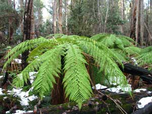
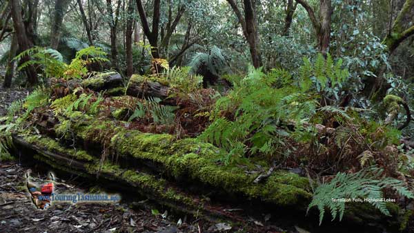
The walk was officially closed after a
severe bushfire swept through the area. After 2 years the forest has
regenerated restoring the walk to almost it's original state.
The track still has many small trees
crossing the track making the walk a little difficult. More
inconvenient. The fallen trees are possibly a result of the storms of
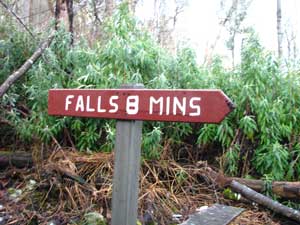
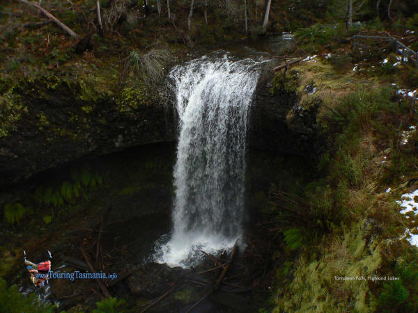
March 2011 which have felled the weaker trees. A superb waterfall awaits
those who take the walk. About 45 minutes one way.
added July 2011 |
 |
|
| |
 |
 |
|
| |
click above for a high definition 1920 x
1440 desktop size image |
|
|


