|
|
SPONSORS
accent on
 tasmania
|
follow updates on
| |
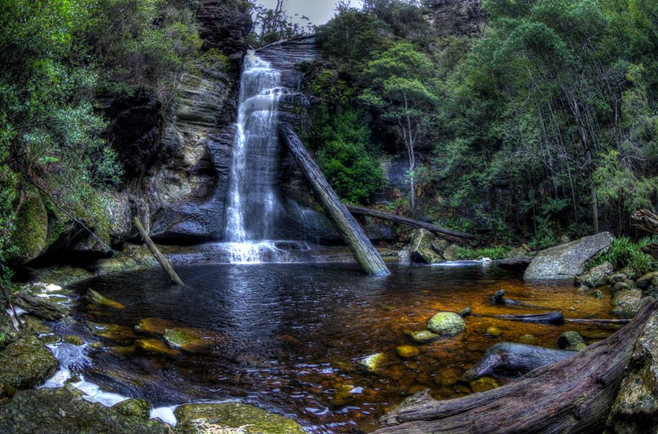
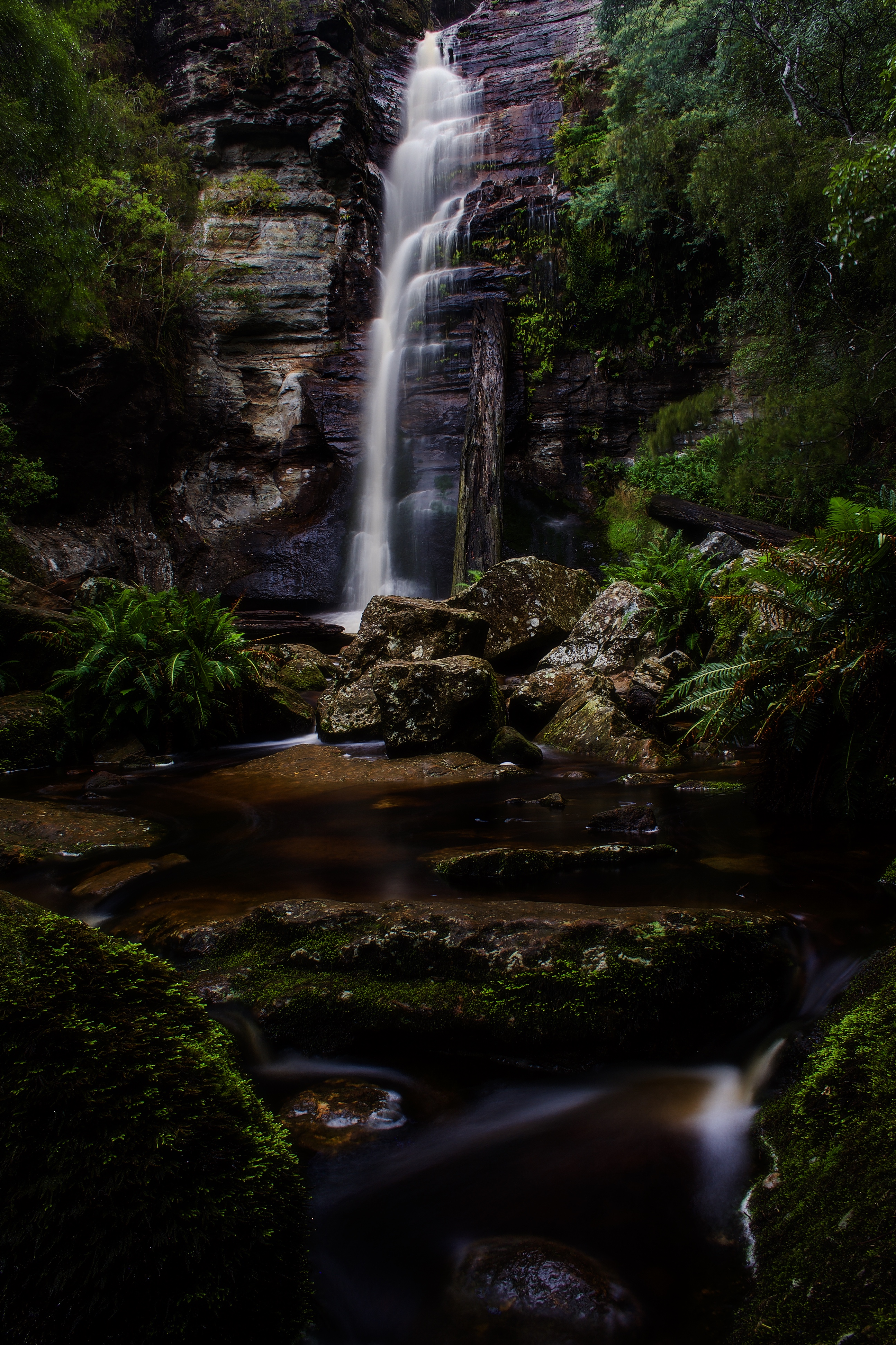
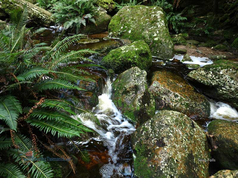
Snug Falls
D'Entrecasteaux Channel
| |
The township of Snug is about
30 kilometres from Hobart south of Kingston. In the centre of the town
Snug Tiers Road heads off to the west. Just a 5 or 10 minute drive
takes you to the Snug Falls track. Beware, the road is very narrow in
places and is subject to backing up.
A 20 or 30 minute easy grade walk
takes you to the classic Snug Falls.
|
|
| |

 |
|
|


