|
|
SPONSORS
accent on
 tasmania
|
follow updates on
| |
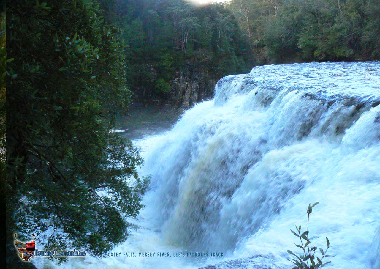
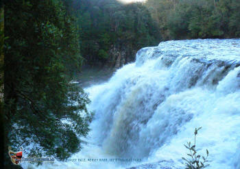
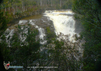
OXLEY FALLS AND LEWIS FALLS
The
Mersey Forest Road
 |
Very
pretty Oxley Falls. About an hour and a half from the start of the track at the car
park on the Mersey forest road the track reaches a well defined
T-junction. On the return journey, there is a distinct red arrow painted
on a tree indicating the main track turns left. A hundred metres or so to
the left (on the way in) a moss covered clearing can be seen. After
following the track and crossing 2 mossy clearings a trail to the right can be
picked up indicated by plastic tape attached to bushes and trees. The
taped trail in fact also heads to the left but is not at all visible from the
main track where it emerges a few hundred metres from the T-junction. The
water level in the river was perfect for these falls in the image below on the day we visited.
It
becomes evident that the best parts of the Lees' Paddocks walk are the areas
around creeks and the diversions to the river. The track is very wet and
at times muddy in places - particularly the half hour after passing the huts
just below the car park. However, by watching your step you can manage the
trip without getting your feet too wet. |
click for desktop size
image |
|
|
|
|
| |
|
|
| |
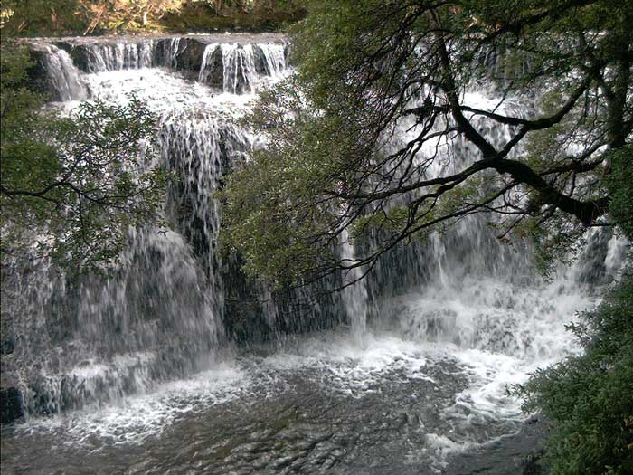
About half an hour
before the Oxley Falls junction there is a well defined taped diversion to Lewis
Falls. A pretty walk to the falls. An interesting aspect of the walk
in is the bush on the opposite side of the river is dry eucalypt forest whereas
most of the walk is in myrtle rainforest.
|
click for desktop size
image |
|
|