|
TASMANIA MAP GUIDE |
a pictorial guide to Tasmania's natural attractions |
|
|
|
 |


|
|
follow updates on
|
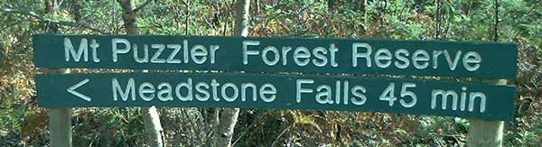
MT PUZZLER The Fingal Valley
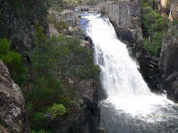
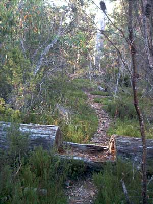
Meadstone Falls from the viewing platform. Reduced to just a trickle after a dry summer. Any easy track, just a little steep near the falls. There are a few ways to the reserve. Just east of Fingal along the Esk Highway, Valley Road branches off to the right towards the logging area of Mt Puzzler. Follow the signs!
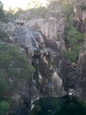
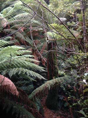
The road to Meadstone falls continues on to a forestry road which runs the entire length of the hills to the south of the Fingal Valley. The picture above is part of the Apsley Myrtle Forest walk near the southern end of the road. There are two more sets of waterfalls along the way. They are just a short distance from the road. |