|
follow updates on
| |
Corinna - Mt Donaldson
The Tarkine
| |
 |
|
| |
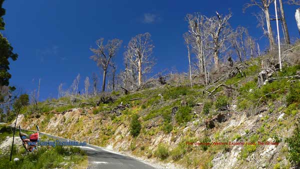
About 6 kilometres from Corinna the
Western Explorer Road crosses the Savage River. Just across the bridge
on the left is the start of the track to Mt Donaldson. We will get back
here to climb the mountain.
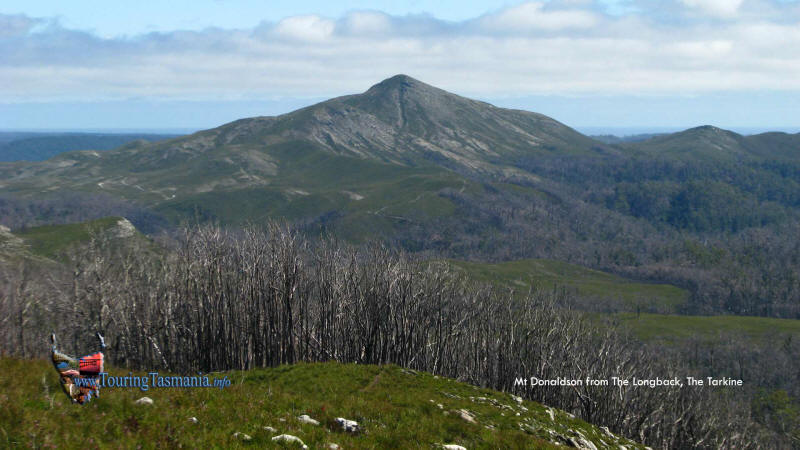
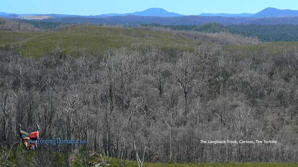
About 10 kilometres further north on the
Western Explorer is a short track to a lookout - the Longback. If
you do one walk in the area then this one is recommended. Views
include Mt Donaldson shown above, Savage River mine shown below and a
distant view to the Pieman Heads - see panorama below. A great
short walk of about 30 minutes return. All the images show the
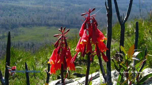
aftermath of a severe
bushfire in March 2008. Authorities came under
criticism for not clearing the road for over 6 months after the fire.
On driving through the area in December 2009 it is clear there must have
been hundreds of trees littering the road after the fire. |
 |
|
| |
 |
 |
|
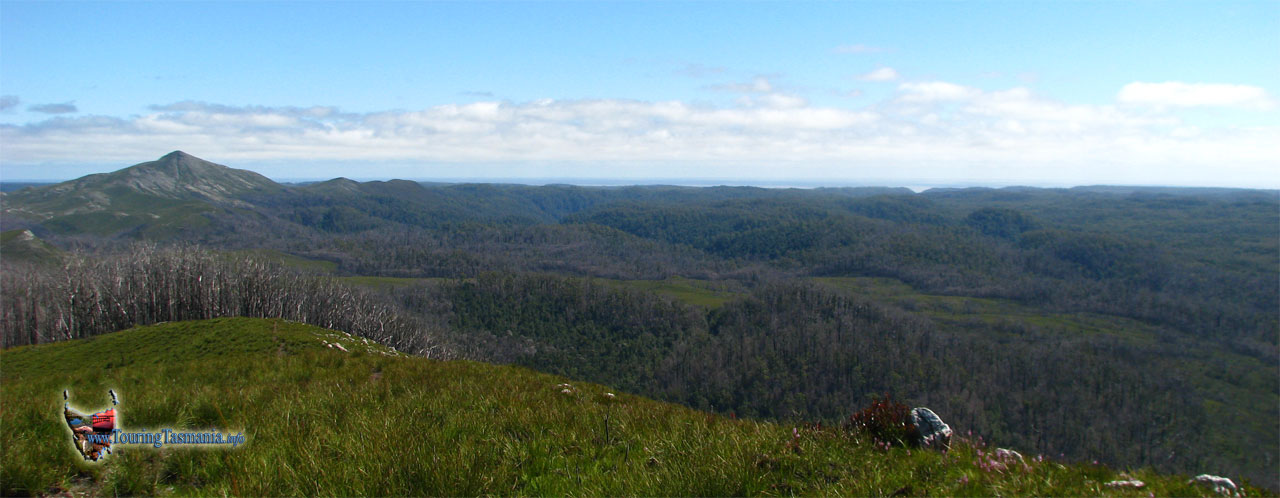
Panorama from the Longback
|


