|
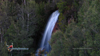
ARVE FALLS
LAKE OSBORNE
HARTZ PEAK
|
SPONSORS
accent on
 tasmania
|
follow updates on
| |
Hartz Mountains National Park
Southern Tasmania
|
|
The Hartz Mountains are passed on the left on the Tahune Air Walk road. The
area is well signposted. We have only covered here the drive in along with
the easy Arve Falls walk and the Lake Osborne walk. |
 |
|
|
|
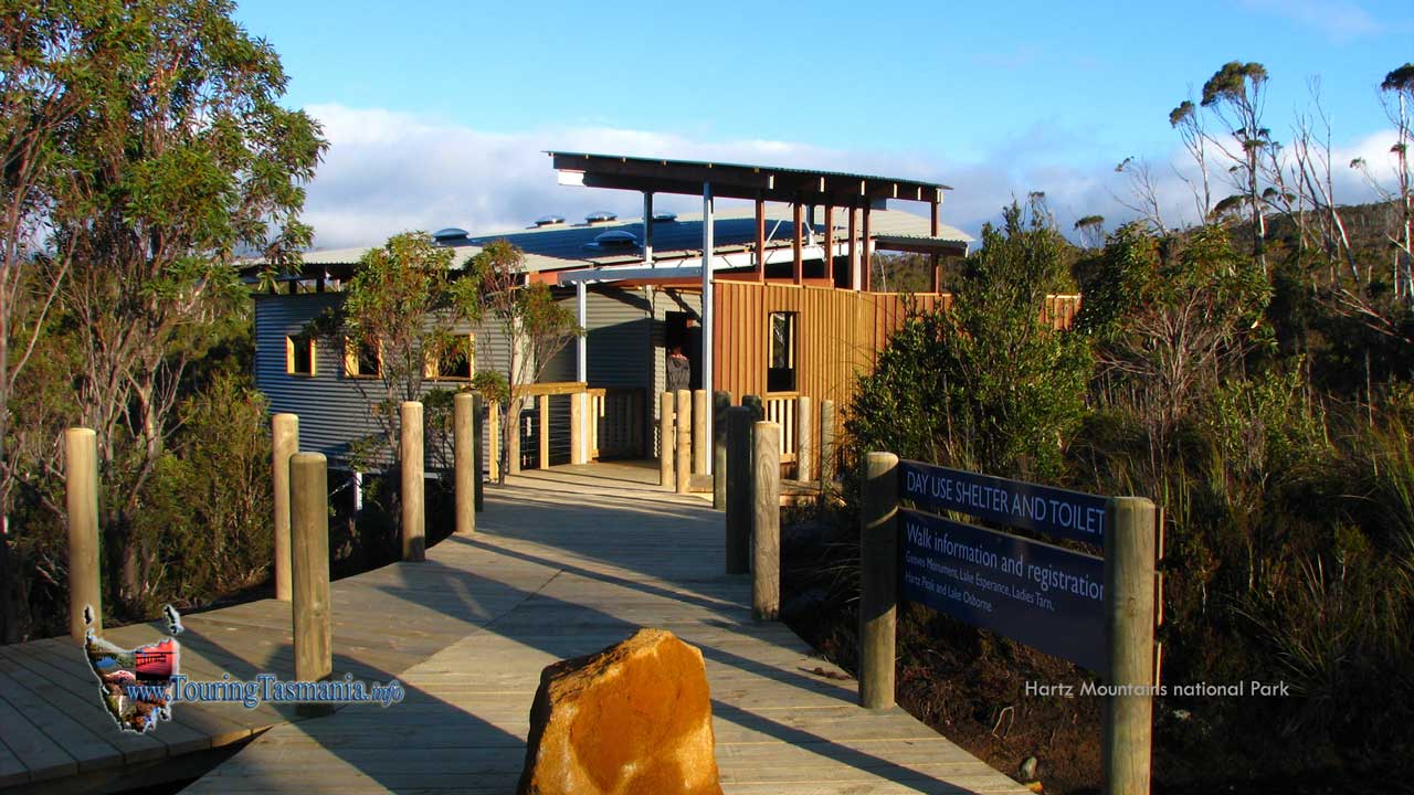
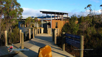
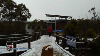
The visitors shelter on
contrasting days. The upper one was taken in September 2008 - the lower in
snowy conditions on 2nd January 2009. |
 |
|
|
|
The road reaches a plateau at
the Waratah Lookout. Right by the road. |
 |
|
|
|
Keogh Falls can be seen from the
lookout cascading into the valley below.. |
 |
|
|