|
TASMANIA MAP GUIDE |
a pictorial guide to Tasmania's natural attractions |
|
|
|
 |


|
|
follow updates on
|
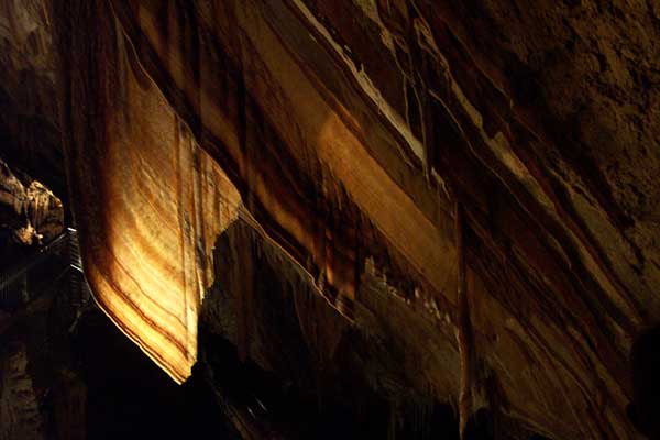
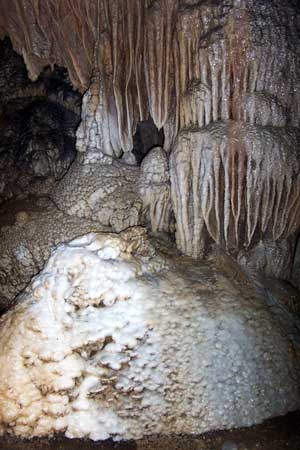
North West Coast GUNNS PLAINS CAVES
Above left: Start of the Leven Canyon walk. A very hard walk for experience bush walkers only. When we visited a section above the gorge it was virtually impassable due to a combination of fallen trees and the very sheer cliffs the track passes along. Right: Tasmanian Blackwood between the Preston falls.
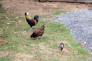
Mix with the animals at Wings Wildlife park! click image for more |