|
TASMANIA MAP GUIDE |
a pictorial guide to Tasmania's natural attractions |
|
|
|
 |


|
|
follow updates on
|
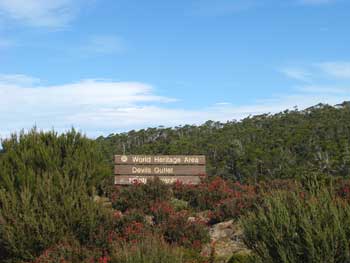
DEVIL'S GULLET The Great Western Tiers
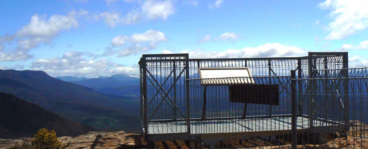
The road to Devil's Gullet and on to Lake McKenzie is gravel but quite good. From Launceston head towards Deloraine. Take the turnoff to Mole Creek. Continue through Mole Creek and on past the turnoff's to the caves. About 15 minutes further on there is a right turn to Cradle Mountain. About 300 metres further on there is a left turn to Lake McKenzie. The road continues on to Lake Rowallan - a rather unattractive hydro lake with dead trees adorning its shores from when the lake was flooded. Three classic walks commence near the lake. The Walls of Jerusalem, Arm River and the Lee's Paddocks tracks. Devil's Gullet is about 20 minutes up the Lake McKenzie Road. There is a car park a hundred metres off the road with a track to the cliff face. About a 10 minute easy walk. The Viewing platform just overhangs the 200 metre high sheer cliff. A real experience in windy conditions. There are also some interesting places to visit near Mole Creek. Lobster Falls, Westmoreland Falls, Alum Cliffs and a wildlife park. We will cover these areas as time permits.
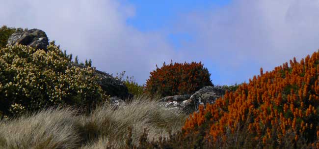
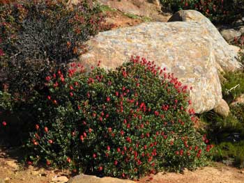
Summer wildflowers, Christmas.
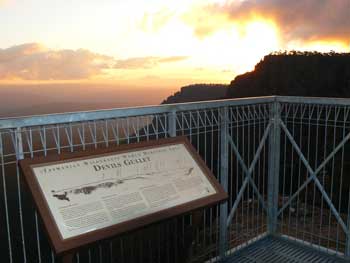
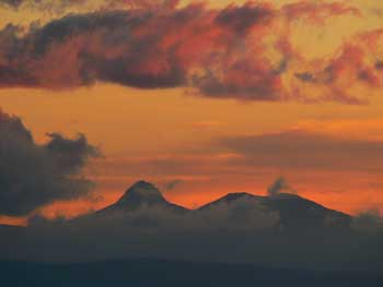
Sunset looking towards Barn Bluff & Cradle Mountain.
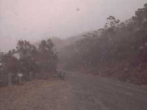
If the weather closes in and the wind picks up, a short trip to Devil's Gullet will provide you with a true wilderness experience. The picture above was taken on June 10th with the arrival of early winter snow. The wind was roaring as it raced through the western cliffs of the Fisher River Valley.
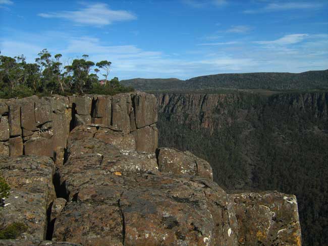
Devil's Gullet viewing platform. Summer snow on the slopes of Mt Ossa just left of the barrier. The view sweeps around to Cradle Mountain to the right.
|