|
follow updates on
| |
CAPE BERNIER
South Eastern Tasmania
| |
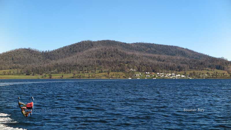
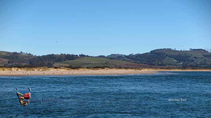
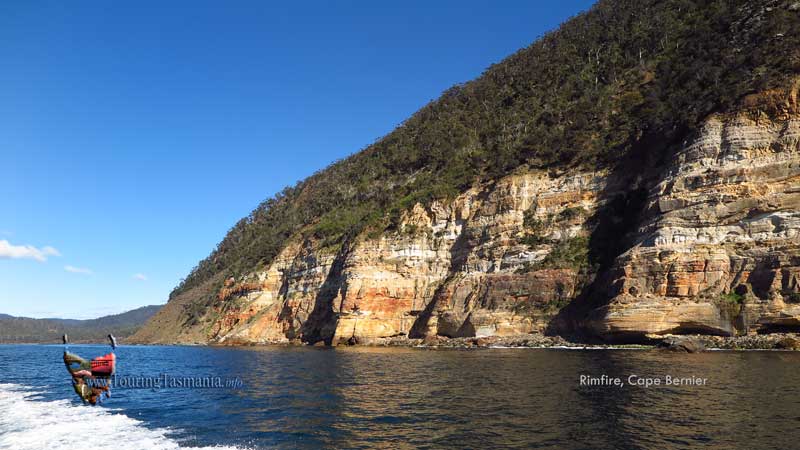
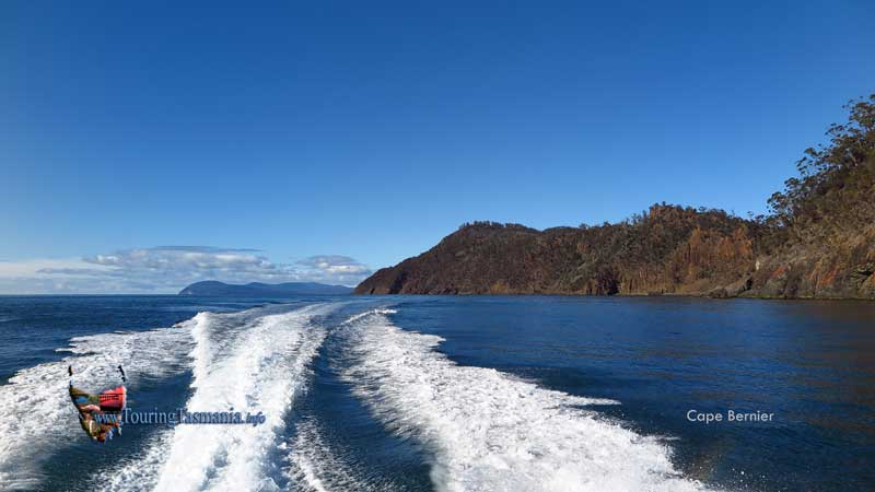
We took a trip to Cape Bernier as
part of a fishing trip. The cape is very difficult to access by car. We
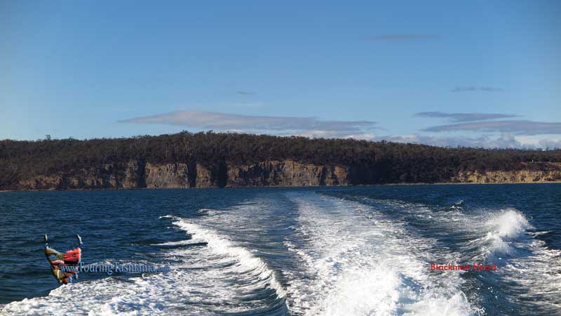
left Boomer Bay which is just north of Dunalley. After crossing Blackman
Bay the Marion Narrows is negotiated before entering Marion Bay. The long
white Marion Beach stretches north from here with Bream Creek behind the beach.
Bream Creak is the venue for The Falls Festival each New Year.
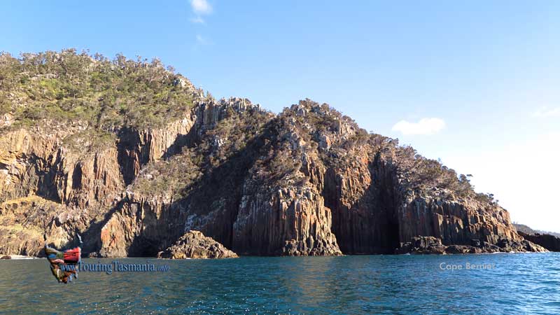
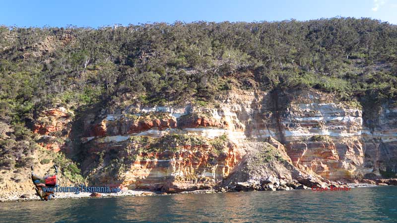
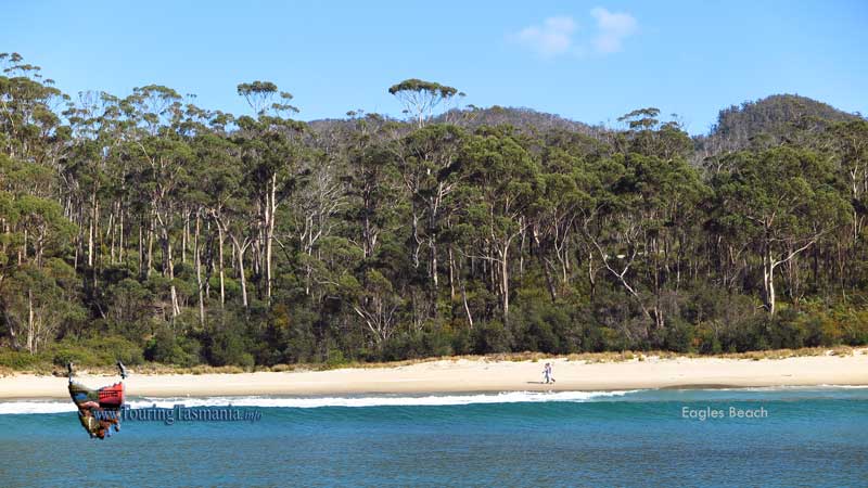
The images here cover the 25
kilometres of coastline past Eagles Beach, Eagle Beach, Blowhole Point, Hellfire
Bluff and Cape Bernier. Very colourful cliffs around Cape Bernier.
We headed around to Cockle Bay and
Boot Bay for some fishing.
BOOMER BAY
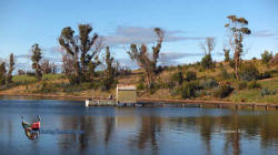
BOOMER BAY
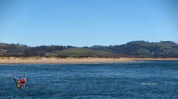
MARION BEACH
|
|
 |
|